

Red Reef Trailhead.
We turned left off the trail and headed up this side-canyon.
Left leads to the mouth of a short slot, right leads up a social trail to higher ground.
Justin in the short slot.
Looking down at the Class 2 ascent to get past the short slot.
Farther up the canyon, a Class 3 section to get over the canyon's rim.
Red Reef's ridgeline is visible above. It will be tempting to go toward it, but there are lots of big cliffs up high and smaller cliffs down low. Instead, keep left of this photo and ascend the nice slope.
View back into the canyon we ascended from as we continue up the slope.
We hopped over the ridge to Red Reef's southeast side.
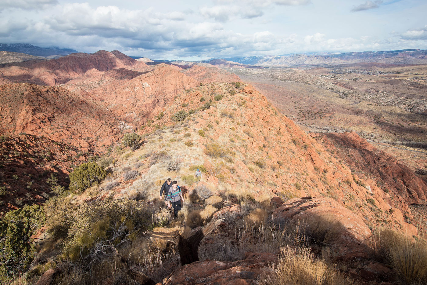
Along the southeast side of Red Reef's ridge.
View back as we continue along a nice grassy bench.
We entered a short narrow section to continue along the bench.
You can see the cliffs on the right starting to become more grassy and less sheer. We headed up once a route became clear.
Class 2 slope to the summit ridge. Many of the boulders are very loose.
View back as we ascend the Class 2 slope. The trailhead is visible center left.
Ridgeline leading to Red Reef's summit.
Just below the summit, view back along the ridge.
Red Reef summit.
Red Reef summit, view toward St. George.
Red Reef summit, view toward the rest of the Red Cliffs National Conservation Area to the west.
Hire me or show me some love!
Hire/refer me as a web developer or send me a few bucks if you find my site useful. I’m not sponsored, so all fees are out-of-pocket and my time preparing trip reports is unpaid. I really appreciate it!