

Just past the O'Leary Campground, headed through forest off-trail toward Robinson Mountain.
I stumbled on an old mining road as I ascended to Robinson Mountain.
Looking back along the mining road - my car is somewhere in the trees on the left at the O'Leary Trailhead.
The mining road leads to this scar. I continued to the left to get above it and onward to Robinson Mountain.
Steep to Robinson Mountain.
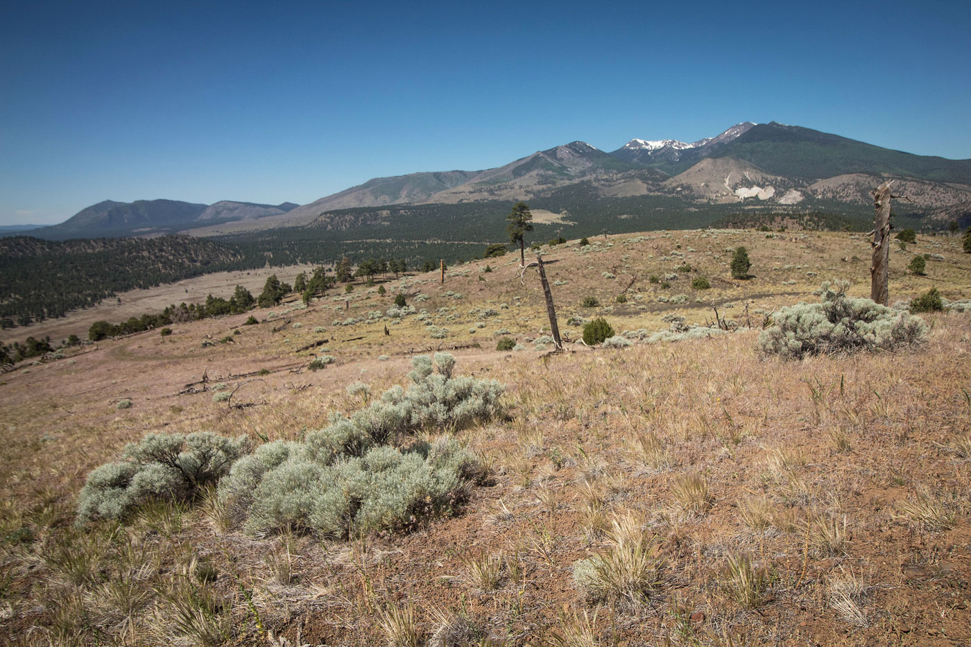
Along the southwest slope headed up to Mount Robinson, some nice views toward Humphreys Peak.
Robinson Mountain, view north toward O'Leary Peak (left) and Darton Dome (right).
Looking back toward Robinson Mountain as I descend its north ridge.
I ended up on this dirt road about halfway down from Robinson Mountain, which brought me to the saddle of Robinson and O'Leary.
Leaving the dirt road to head up to O'Leary Peak.
Looking back toward Humpreys Peak.
The terrain becomes very steep.
Looking back while hiking up the sloggy cinder.
Very steep. Not quite fun, but not... not fun?
Another shot back down my steep ascent. I recommend taking the alternative route I added to my attached map.
A shot toward the slope so you can see its steepness. It's loose, too.
Summit of O'Leary Mountain, view toward O'Leary lookout tower. I headed down to the saddle between the two on a social trail.
Headed up to O'Leary lookout tower.
O'Leary lookout tower (well, not the tower - it was closed due to COVID), view toward Humphreys Peak.
Continuing down the standard hike on the access road.
Darton Dome visible ahead. It was a nice break from the road walk.
On the way up Darton Dome's west slope, no trails. O'Leary lookout tower visible center.
Almost to the summit of Darton Dome.
Darton Dome, view toward Humphreys Peak.
Back on the dirt road, continuing my descent back to the trailhead.
View back toward O'Leary Peak (center), O'Leary lookout (right of center), and Darton Dome (far right).
Hire me or show me some love!
Hire/refer me as a web developer or send me a few bucks if you find my site useful. I’m not sponsored, so all fees are out-of-pocket and my time preparing trip reports is unpaid. I really appreciate it!