

Starting first toward Rocky Benchmark, headed for the drainage visible center.
Within the drainage.
Looking back the way we came, Pupfish Peak visible back there. We would do that peak next.
At a low saddle at the head of the drainage, looking toward Rocky Benchmark. We dropped into this next wash and followed it.
Approaching an interesting gravel field.
Looking back as we ascend the gravel field.
Some Class 2 obstacles as the wash narrows into a canyon.
Looking back the way we came.
The drainage bends. View back the way we came.
Class 2 slabs as we ascend the steepest part of the drainage.
Close-up of Austin scrambling on the slabs.
Almost at the top of the drainage, where the route mellows out a bit.
Mellow drainage leading to the summit.
Approaching the summit.
View toward our ascent wash (center) and Pupfish Peak (top left).
Close-up at our ascent route. Really cool to see it from up here.
Back at the car, we followed the road a short distance and began toward Pupfish Peak.
We side-hilled the slopes for a short time and ended up in this wash. Pupfish Peak visible center.
Starting up the wash, which became progressively more rocky. Some fun Class 2, nothing crazy.
Looking back as we head up the wash.
Just a typical Class 2 boulder-hoppy wash.
And then we ended up at the base of the dryfall seen center in this photo. The right slopes were too scree-filled. The left side looked more promising.
Ascending the left side of the waterfall on Class 2.
A low Class 3 move to get to the top of the dryfall.
Above the dryfall, looking east at the route to come. A wildlife water tank was located here.
Looking back down the drainage.
Terrible Class 2 scree slopes leading to the summit. I recommend just continuing up to the head of the drainage and follow the slope to the ridgeline.
Looking back down from near the summit.
My ascent (and therefore these photos) were from the scree slope. You should probably ignore this one since hopefully you took my advice and just went to the ridge ;)
Pupfish Peak summit, view northwest toward Rocky Benchmark.
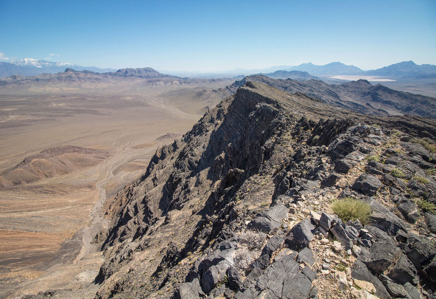
Pupfish Peak summit, view southeast at its impressive cliffs.
Hire me or show me some love!
Hire/refer me as a web developer or send me a few bucks if you find my site useful. I’m not sponsored, so all fees are out-of-pocket and my time preparing trip reports is unpaid. I really appreciate it!