I provide a free route map, but you can also download a hike/drive GPX to assist you and to help support my site. Before sharing my GPX tracks with others, please remember my site is a free resource and I'm charging nominal fees to offset my substantial costs.
GPX track added to your cart.
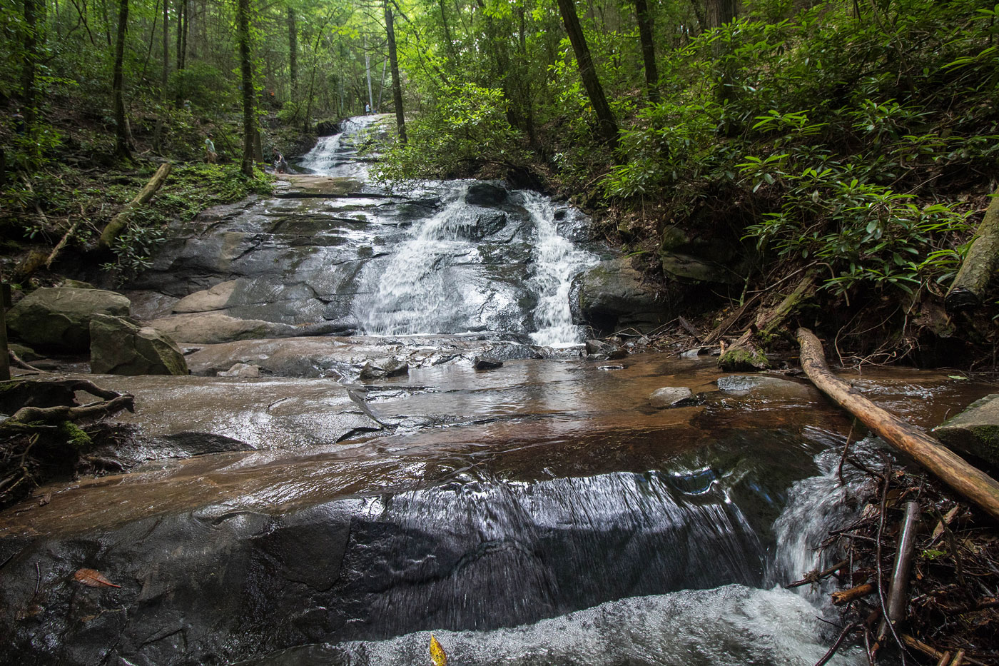
Jun 16, 2020 — Access to Rocky Mountain can be made shorter by starting at the Stanley Gap Trailhead a mile or so to the west of the Fall Branch Falls trailhead, but I wanted to include the falls in my route, so I started at the much more popular option. An easy trail leads to Fall Branch Falls, where it was so crowded I didn't even bother to wait to get some alone time with the falls for a photo. Regardless, the falls are a nice mini detour. I should note that the old trail to Falls Branch Falls has been rerouted, so my route included on the map is the correct, new trail as of June 2020.
From the falls, the Benton McKaye Trail parallels the Falls Branch Falls Trail for a bit before ascending the southern ridge of Rocky Mountain. The trail was in great shape, and leads to the north side of the peak. An obvious social trail leads to the summit away from the Benton McKay Trail. There was even a little sign pointing to the summit. No views, but a nice little forest hike.
Please consider helping me out if you find my site useful. I'm not sponsored, so all site fees are out-of-pocket and my time preparing these trip reports is unpaid. You can also hire me as a web developer. I really appreciate it!


If you find my site helpful, please help me replace my many broken cameras, fund my website fees (hosting, APIs, security), or just support my countless hours of work. I pay for all expenses myself, and all trip reports I post are unpaid and unsponsored, so any support is really appreciated!
If using PayPal, please select their option for "Sending to a friend" so they don't take out fees, thank you.
My site is free to use, but consider sending me a few bucks to help keep it running. Thanks in advance!