

Rose Peak Trailhead (right). Shortly after, there is a junction where the road forks - keep left. Going right follows the service road to the summit instead of the trail.
The road turns into a trail.
Looking back at a switchback. The trail isn't particularly interesting for the first bit as it ascends the forested slope.
The trail emerges into brush rather than trees, Rose Peak lookout tower visible on the left.
Looking back, some nice views.
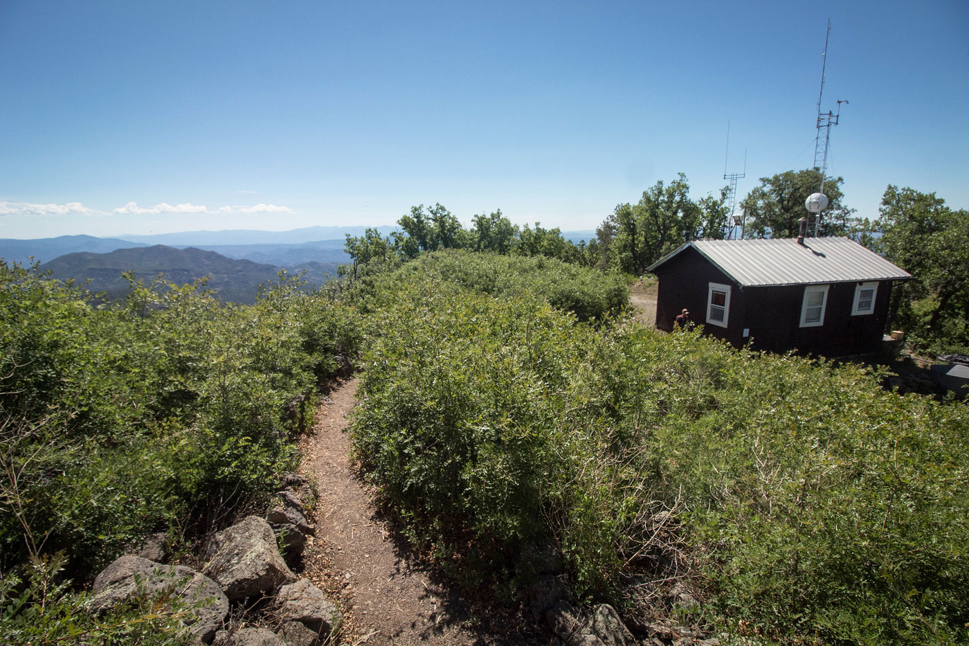
Just below the summit.
Rose Peak summit view north, toward Highway 191.
Rose Peak summit, view southeast.
Rose Peak summit, view toward the lookout tower service building.
Hire me or show me some love!
Hire/refer me as a web developer or send me a few bucks if you find my site useful. I’m not sponsored, so all fees are out-of-pocket and my time preparing trip reports is unpaid. I really appreciate it!