

Better vehicles can drive this road, but I chose to walk it.
Along the dirt road, Sandy Peak poking out in the center.
Looking back along the dirt road.
I left the dirt road and dropped into Ashton Creek.
Ashton Creek was pleasant.
Ahead is the steep slope I'd be ascending.
Animal trails helped, but it was still steep.
View back as I ascend. Some light bushwhacking, but not bad at all.
Almost up the slope.
Nearing the top of the slope, view back the way I came. Ashton Canyon is right of center. My car is in the meadow somewhere top center.
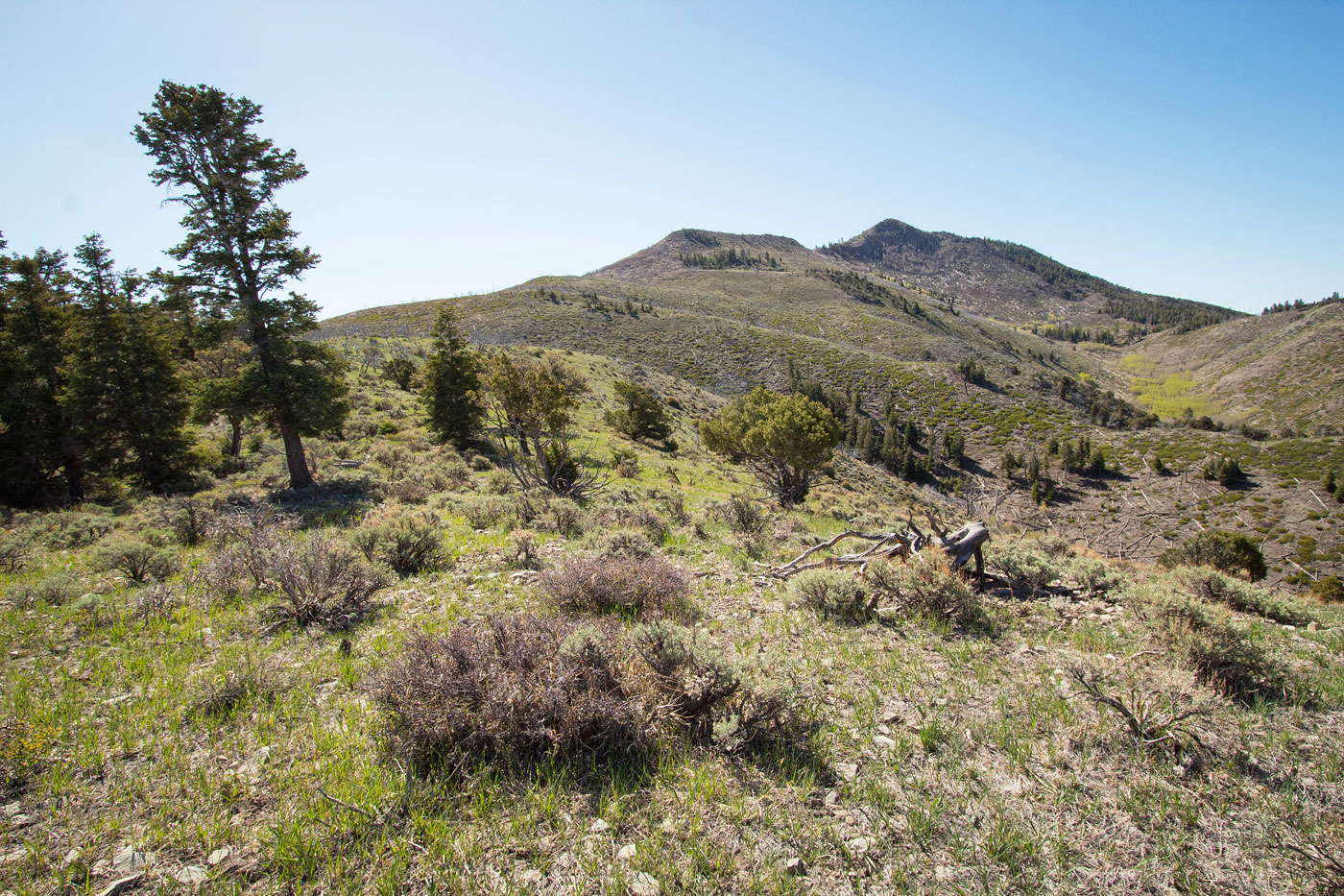
The ridgeline immediately becomes more pleasant after finishing the slope ascent. Sandy Peak visible top right.
Close-up of Sandy Peak. The bump along its north ridge visible on the left.
Animal trails led through any minor brush along the way.
But really it's just a nice stroll along the grassy ridgeline.
View back along the ridge.
Close-up toward the Tushar Mountains to the north.
Along the ridge.
View back along the ridge. Little Creek Peak (a minor summit to the south) visible on the left.
Continuing to ascend on the northern ridge of Sandy Peak.
Rather than ascend all the way to the bump on the top left, I headed up through the trees in the center and continued to the saddle separating the hump and Sandy Peak.
View north.
Hump on the left.
Avoiding the hump on its right, Sandy Peak visible center.
At the saddle of the hump and Sandy Peak.
View back toward the hump as I ascend the ridge.
Deadfall and minor Class 2 up the north ridge.
View back. The ridge I ascended from comes up from the left.
Wide shot of the route from just below the summit of Sandy Peak. My car is in the meadow on the top left in this photo.
Just before the summit of Sandy Peak, some Class 2 blocky boulders to maze around to gain the summit.
Sandy Peak summit, view south.
Close-up toward Little Creek Peak.
Hire me or show me some love!
Hire/refer me as a web developer or send me a few bucks if you find my site useful. I’m not sponsored, so all fees are out-of-pocket and my time preparing trip reports is unpaid. I really appreciate it!