

Saratoga Spring trailhead.
Nice viewpoint of the wetlands. The road/trail continues along the base of the mountains.
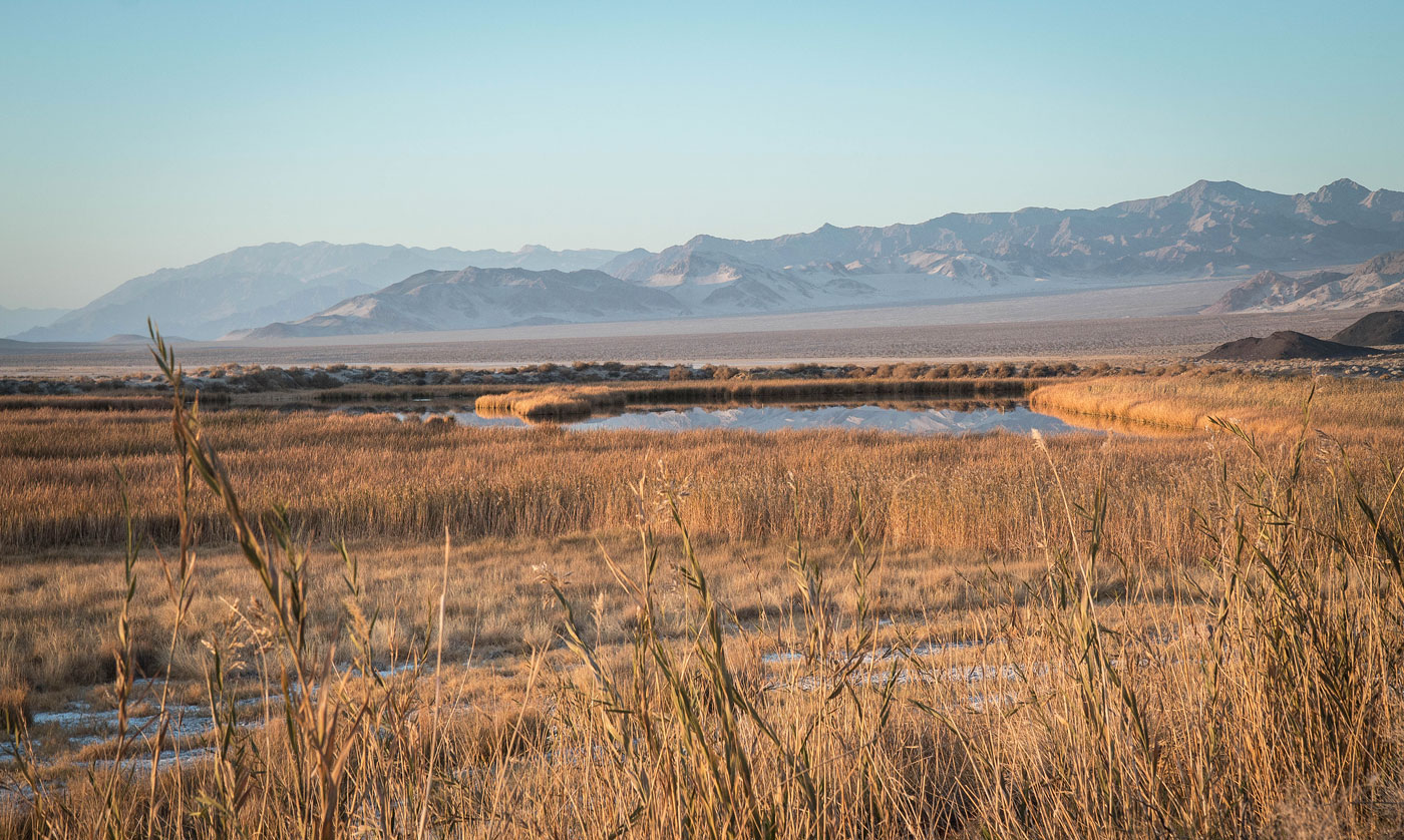
Close-up toward the wetlands, Death Valley in the distance.
Continuing along the road.
View toward the wetlands.
Saratoga Mine 1.
Mine shaft.
Mine 1.
Back along the mining road.
There were some more remains of human activity to the north, but there was only a wooden stake so I left it off my map.
View back the way I came before heading to Saratoga Mine 1.
Saratoga Mine.
Open mine shaft.
Saratoga Mine 1.
Mine in the mountainside.
Death Valley in the distance.
Saratoga Spring wetlands on my way back.
Hire me or show me some love!
Hire/refer me as a web developer or send me a few bucks if you find my site useful. I’m not sponsored, so all fees are out-of-pocket and my time preparing trip reports is unpaid. I really appreciate it!