

Sheep Mountain on the left, taken just after leaving the road.
Heading up the ridge, looking back toward the desert.
The three peaks of Sheep Mountain. Far right is a false summit, middle is a nubbin we didn't ascend, left side is the true peak.
Class 3 obstacle along the ridgeline.
Looking back along the ridge as we ascend.
Class 2+ section as we near the false summit.
On the false summit, looking toward Sheep Mountain.
At the base of Sheep Mountain, a small notch with a Class 2+ move.
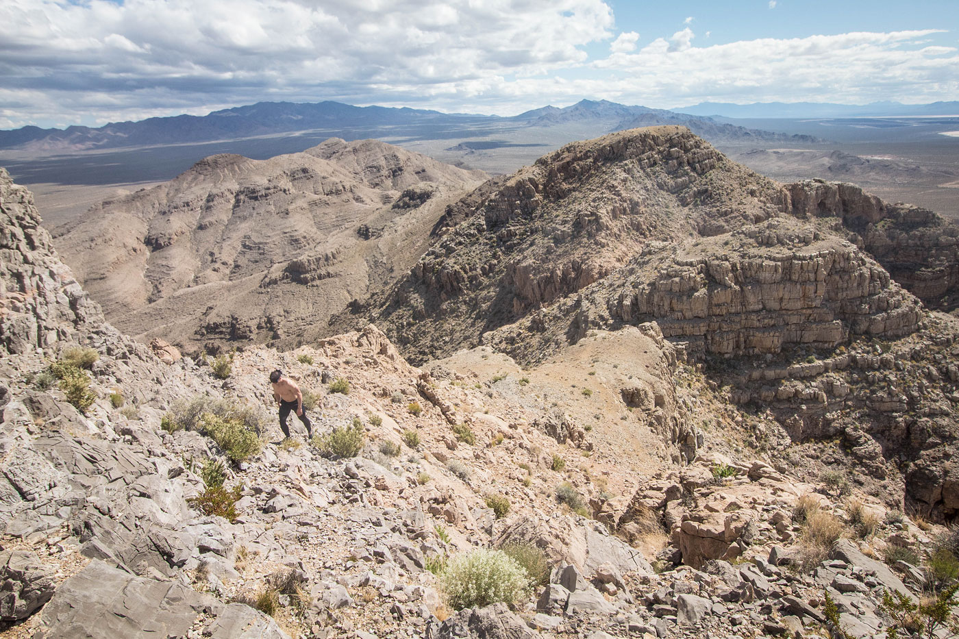
Ascending Sheep Mountain, looking back along the ridge toward the false summit. MCCullough Mountain visible back left.
Sheep Mountain summit ahead. We kept just left of the ridge crest to avoid sketchier-looking stuff, eventually heading into the small crevasse on the left.
Within the small crevasse to scramble up to the summit.
Sheep Mountain summit, view north.
Sheep Mountain summit, view south. McCullough Mountain back left.
Hire me or show me some love!
Hire/refer me as a web developer or send me a few bucks if you find my site useful. I’m not sponsored, so all fees are out-of-pocket and my time preparing trip reports is unpaid. I really appreciate it!