

A narrow trail leads up the side of the mountain.
At the pass, before heading through a forested area.
Passing a few meadows amongst the forest.
Further Water Valley, Signal Peak is that rising green ridge ahead.
Leave the trail and head up the ridge to the summit. There were cairns, but really you don't need them.
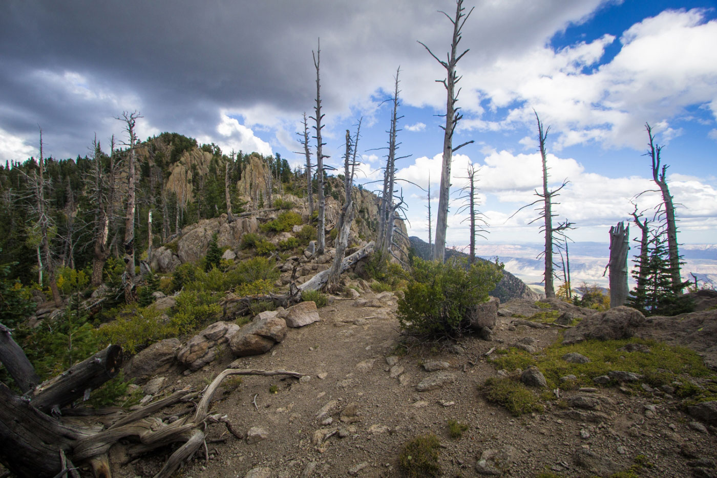
Signal Peak summit view. Lol.
Hire me or show me some love!
Hire/refer me as a web developer or send me a few bucks if you find my site useful. I’m not sponsored, so all fees are out-of-pocket and my time preparing trip reports is unpaid. I really appreciate it!