

Wildlife guzzler at the trailhead, a false summit of Silver Bell Peak seen top left.
After hiking through the lumpy desert, I reached this wash.
Following the wash.
Silver Bell Peak seen ahead.
Wash gets rockier.
Continuing up the wash.
Silver Bell Peak left of center.
Some Class 2 obstacles, view back within the wash.
Eventually the wash became many tributaries, so I headed up to the ridge via a rocky gully.
View back down the gully I came up.
Ragged Top on the left, another wildlife guzzler in the foreground. I came up from the gully on the right.
Close-up of Ragged Top.
Onward toward Silver Bell Peak.
View back. Ragged Top seen top left.
Silver Bell Peak is up there somewhere.
Steep slope with some light brush.
Class 2 ridgeline to the summit.
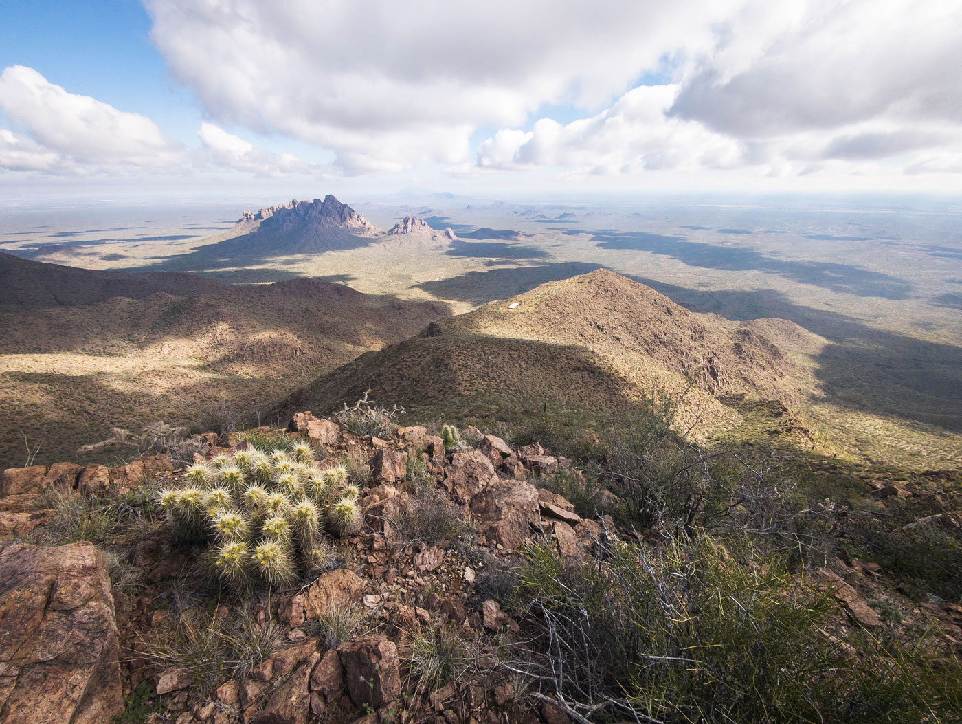
Silber Bell Peak summit, view north.
Silber Bell Peak summit, view south toward the Silver Bell Mine.
Close-up of the guzzler and the gully I came up (right).
Hire me or show me some love!
Hire/refer me as a web developer or send me a few bucks if you find my site useful. I’m not sponsored, so all fees are out-of-pocket and my time preparing trip reports is unpaid. I really appreciate it!