

The trailhead.
A bit over a mile and a half along this old road.
The start of the Slide Mountain Trail, marked by a white gate.
View back as we ascend the Slide Mountain Trail, which begins as an old road.
Progress to the ridge seen above.
Another shot back, Pyramid Lake seen on the left.
The road is sometimes a little overgrown, but not enough to be annoying.
View back.
The road eventually becomes a singletrack trail. The trail makes one big switchback in order to reach the ridgeline seen above.
View back along the singletrack.
Pretty wildflowers along the way.
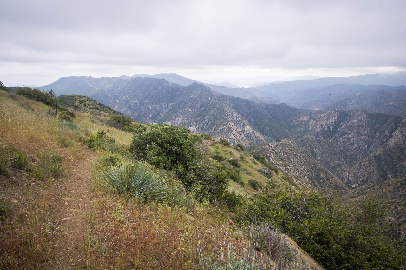
View back along the Slide Mountain Trail.
Nearing the ridge crest.
At the ridge, view south.
Continuing along the ridge, Slide Mountain seen ahead in the clouds.
View back, gorgeous scenery.
The trail wraps around the ridge crest to keep the grade more low-angle. Slide Mountain seen above.
Wider shot of the ridge past Slide Mountain.
Another shot back before the trail wraps to the north side of the peak.
On the north side, view down to Pyramid Lake.
View back along the crest.
The trail then spirals around the south, then west side of Slide Mountain. We had only clouds, but were happy we got views lower down.
Slide Mountain Lookout fire tower at the summit.
Hire me or show me some love!
Hire/refer me as a web developer or send me a few bucks if you find my site useful. I’m not sponsored, so all fees are out-of-pocket and my time preparing trip reports is unpaid. I really appreciate it!