Since my lens I usually use is totally broken at this point, I used a less wide one. My new lens comes soon, but I'm pretty annoyed with the lack of wide shots I got today.
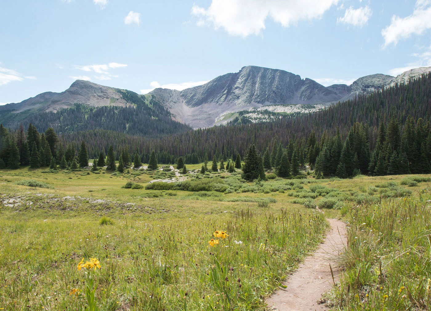
Jul 17, 2018 — Starting from Andrews Lake, follow a well-maintained trail to a trail register, where you turn left and head into beautiful meadows beneath Snowdon Peak. A use trail brings you through some marsh (expect to get your feet soggy), and lots of social trails jut out on either side, so do your best to follow the correect route. Eventually, the trail becomes more obvious as it leads you steeply up a gully north of Snowdon Peak. The trail disintegrates once the gully ends, but finding your way across the first short ridge shouldn't take too much effort. his short ridge ends just before the featured, beautiful dragon-tail-like spine. A social trail follows just left of the spine and then once the ridge widens, mostly useless cairns mark the way. You can easily turn this into Class 4 like I did on the way up, but if you stay just left of the ridgeline and look for Class 2 and low Class 3 stuff, you can make the summit without adding extra difficulty or exposure. You can see the popular and iconic Engineer Mountain along the way in the distance.
Please consider helping me out if you find my site useful. I'm not sponsored, so all site fees are out-of-pocket and my time preparing these trip reports is unpaid. You can also hire me as a web developer. I really appreciate it!


If you find my site helpful, please help me replace my many broken cameras, fund my website fees (hosting, APIs, security), or just support my countless hours of work. I pay for all expenses myself, and all trip reports I post are unpaid and unsponsored, so any support is really appreciated!
If using PayPal, please select their option for "Sending to a friend" so they don't take out fees, thank you.
My site is free to use, but consider sending me a few bucks to help keep it running. Thanks in advance!