

The trail starts out really wide, but mostly because of the short hike to Travertine Falls.
Travertine Falls. Dry and graffiti everywhere, sadly.
Back on the Sandia Crest Trail.
At this junction, the main trail takes a long route to the top (I came down that way). The unmarked and unmaintained CCC starts in a clearing to the right and heads steeply up the slope.
Along the CCC unmaintained trail.
The brush slowly disappears as you near the top.
At the intersection with the Sandia Crest Trail, turn left and soon...
...you'll see this intersection. To the left is the way I went down (along the Sandia Crest Trail). To the right goes to the summit.
Views of Albuquerque.
South Sandia Peak in the distance.
Super-mini scramble to the top.
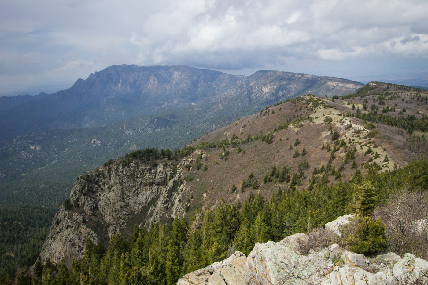
From the South Sandia summit looking to North Sandia Peak.
From the summit, looking toward Albuquerque.
Close-up of North Sandia Peak.
Back at the junction, headed down the Sandia Crest Trail.
The Sandia Crest Trail was more interesting and pretty than the CCC Trail approach I took.
A viewpoint looking north toward the peaks.
The trail meets back to where it split for the CCC trial shortly after this hairpin turn - follow that back down to the trailhead.
Hire me or show me some love!
Hire/refer me as a web developer or send me a few bucks if you find my site useful. I’m not sponsored, so all fees are out-of-pocket and my time preparing trip reports is unpaid. I really appreciate it!