

Starting from the Whiting Campground headed up a dirt road.
Cross the log bridge and continue along a forest road.
Forest road eventually becomes a trail and leads through the forest.
Just a bunch of elevation gain on a moderate incline for a few miles.
Occasional views of the ridges on either side - the trail takes you up a canyon, so views are limited.
Eventually you reach the treeline, with a nice meadow.
Maple Canyon Lake, dry for me.
Looking back toward Maple Canyon Lake.
Remainder of the route - trail stays right and gains the ridge, then heads along the ridge to the summit.
Approaching the ridge.
Looking back from just below the ridge toward Maple Canyon (where I came up).
Along the ridge headed south to Spanish Fork Peak summit.
Looking down into Maple Canyon.
Spanish Fork Peak ahead on the right.
Summit stuff.
Spanish Fork Peak summit looking northwest.
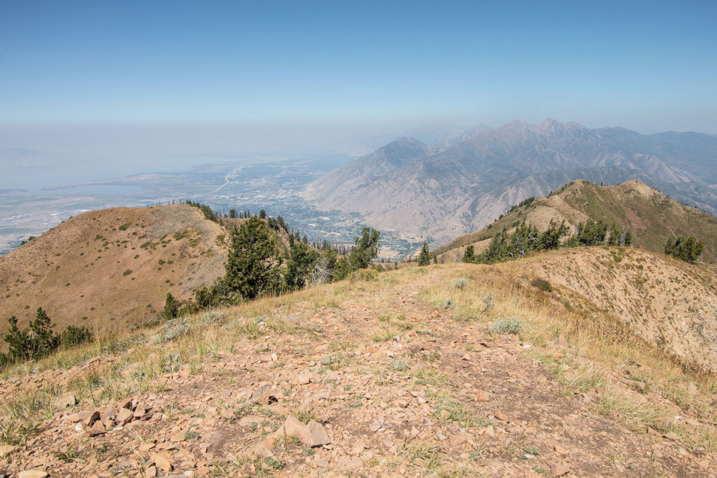
Spanish Fork Peak summit looking south.
Hire me or show me some love!
Hire/refer me as a web developer or send me a few bucks if you find my site useful. I’m not sponsored, so all fees are out-of-pocket and my time preparing trip reports is unpaid. I really appreciate it!