

Spirit Mountain North visible right of center. Spirit Mountain on the left.
View back toward the amazing granite surrounding Grapevine Canyon.
Drainage leading to Spirit Mountain North. I chose to head to the right saddle rather than the left, not sure why.
Class 2 up to the saddle.
View back at my progress, Spirit Mountain visible top right.
Avoid the ridgeline to Spirit Mountain North, where there are lots of rock outcrops. I kept to the left and was able to keep the route Class 2.
View back, the wash I ascended from visible on the right.
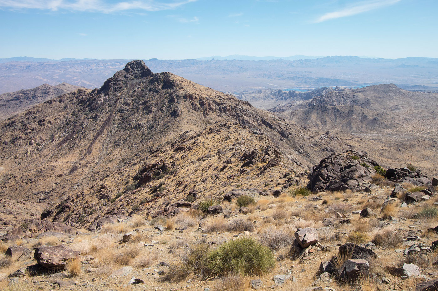
Spirit Mountain North ahead.
Class 2 talus on the way up to Spirit Mountain North.
Spirit Mountain North summit, view toward Spirit Mountain.
Spirit Mountain North, view toward Mount Newberry. Peak 4391 visible center.
Back at the saddle, I intended to just follow the ridge, but this rock outcrop was in the way. I side-hilled beneath its cliffs and located a Class 3 notch to get back to the ridgeline.
Class 3 notch.
Back on the ridgeline, headed to Peak 4391.
Looking back toward Spirit Mountain North, center.
Along the ridge to Peak 4391.
Spirit Mountain North top right, Spirit Mountain top left.
Class 2 to the base of Peak 4391.
Class 3 if you ascend to Peak 4391 directly. Class 2 if you wrap around to the right and ascend from the opposite side.
Peak 4391 on the top right, this view is looking back along the Class 2 bypass (left in this photo.
Peak 4391 summit, view toward Spirit Mountain.
Descending along the ridge from Peak 4391. Mount Newberry visible center.
View back toward Peak 4391.
Looking back again along the descent slopes as it became a bit more rocky.
Mount Newberry ahead.
Looking back toward the steepest section with some granite boulders.
Along the low ridge/saddle on my way to Mount Newberry.
Ridgeline to Mount Newberry, the peak visible top left.
A Class 2 cliff band along the ridge crest (avoidable on the right).
Mount Newberry ahead.
Class 2 to Mount Newberry's summit.
Mount Newberry summit, view toward Laughlin. Pipe Spring Canyon runs though the center of this photo.
I headed down Mount Newberry and descended a spur ridge to get down into Pipe Spring Canyon, visible center. Peak 3153 is visible in the center of this photo, my next objective.
Class 2 up Peak 3153, a view back toward Mount Newberry.
Heading up to Peak 3153.
Peak 3153 ahead.
Peak 3153 summit, view back toward Mount Newberry. Pipe Spring Canyon is visible on the left.
I headed along the ridge of Peak 3153 (pictured here) and dropped down on the right when I saw my car below, an easy descent slope.
Hire me or show me some love!
Hire/refer me as a web developer or send me a few bucks if you find my site useful. I’m not sponsored, so all fees are out-of-pocket and my time preparing trip reports is unpaid. I really appreciate it!