

After walking through the open desert, we entered the major drainage on Stewart Point's east face.
The drainage narrows at a certain point.
One of many Class 2/2+ obstacles.
Past the narrows, we headed up a ridge separating two forks of the drainage we ascended through. Initially it was loose and steep.
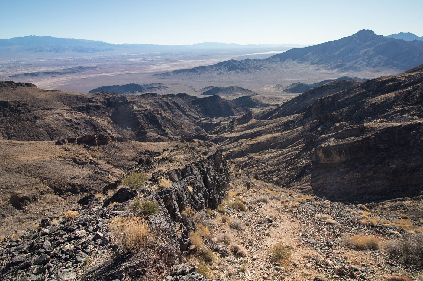
View back into the drainage we came out of as we ascend.
Along the ridge leading to the summit.
View back again.
Steeper section farther up.
Stewart Point summit, view north.
Stewart Point summit, view west.
Hire me or show me some love!
Hire/refer me as a web developer or send me a few bucks if you find my site useful. I’m not sponsored, so all fees are out-of-pocket and my time preparing trip reports is unpaid. I really appreciate it!