

The false summit of Stud Mountain visible ahead. I headed into a drainage on the left.
Within the rocky drainage, headed up to the ridge.
On the ridge crest, continuing south.
Looking back at the Class 2. My car is too small to see, but it's near the center of this photo where the mountain's shadow is.
Continuing along the Class 2 ridge.
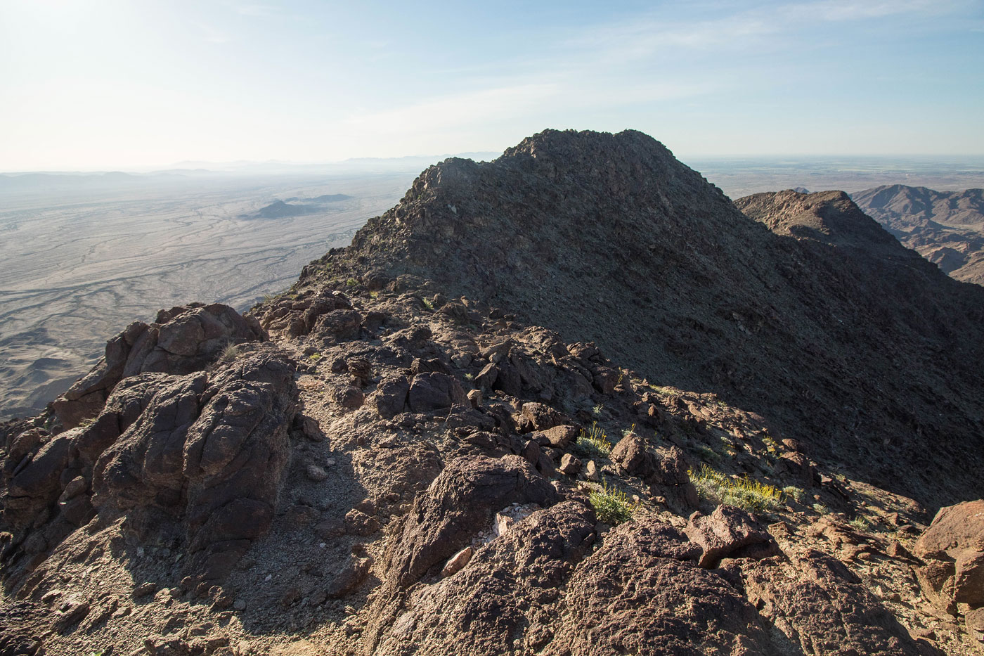
False summit of Stud Mountain ahead.
Looking back from the false summit.
Continuing on mellow terrain to the true summit.
Stud Mountain ahead.
Looking back from just below the summit of Stud Mountain.
Stud Mountain summit ahead.
Stud Mountain summit, view toward Picacho Peak in the distance.
Hire me or show me some love!
Hire/refer me as a web developer or send me a few bucks if you find my site useful. I’m not sponsored, so all fees are out-of-pocket and my time preparing trip reports is unpaid. I really appreciate it!