

Temple Wash.
Continuing up Temple Wash.
At the junction of the ATV road, right leads to Arrowhead Arch, center of this photo somewhere.
Arrowhead Arch. It's small enough I had to question if it even fits the Utah 3-foot-opening rule.
Back on the main ATV road, we left Temple Wash (visible on the right), as the road ascended the south rim.
Looking back into Temple Wash.
Approaching the top of the slope.
View back again into Temple Wash.
After the ATV road ended, we continued along the slope toward the summit. The alternate rout I noted on my attached map follows the base of the cliffs visible in the center of this photo.
Slickrock and dirt slope leading us higher.
A shot back as we near the summit.
Nearing the summit, Temple Mountain poking out.
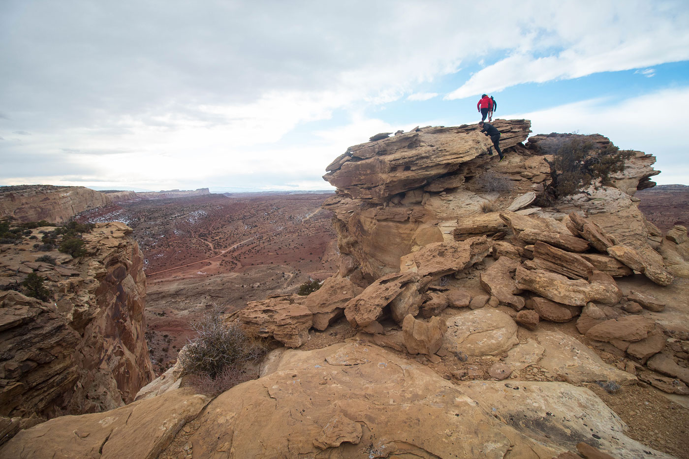
Summit block.
Summit of Temple Mountain Overlook Peak, view west.
Summit of Temple Mountain Overlook Peak, view east. Temple Mountain visible on the left.
Hire me or show me some love!
Hire/refer me as a web developer or send me a few bucks if you find my site useful. I’m not sponsored, so all fees are out-of-pocket and my time preparing trip reports is unpaid. I really appreciate it!