

The first bump of The Ant Hill ahead.
Great slickrock with Class 2 slabs to gain the first bump.
Looking back toward the road.
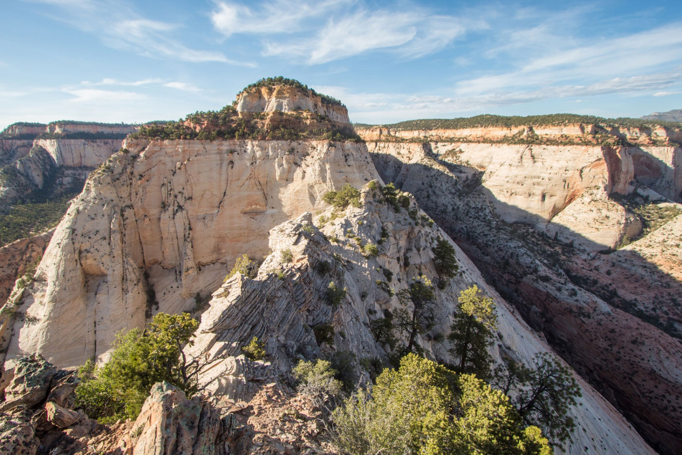
The Ant Hill ahead.
Go up the ridge on the left.
Shawn goofing off.
Starting up the Class 3/4 slabs.
It's vertigo-inducing.
Looking back down the slabs toward the first bump.
Some handholds to aid in ascending the scary slabs.
At the top of the slabs looking down.
Sandy crumbly stuff just before the summit.
Summit ahead. The big gully in the center was our chosen route. An annoying bush was in the way, but everything else looked super scary.
Looking back from within our gully.
Looking back from the top of the gully. The 30-40 foot headwall is behind me.
30-40 feet of Class 4/5. Great holds, but definitely a near-vertical climb. Stay to the left of the bush in this photo. Shawn tried going up on the right and it was scarier.
Shawn attempted to go up the wrong side.
Shawn coming up on the easier side.
Looking down from the top of the 20-30 foot Class 4/5 part.
Topping out onto The Ant Hill.
The Ant Hill looking toward the East Mesa.
Great lighting on the way down.
Hire me or show me some love!
Hire/refer me as a web developer or send me a few bucks if you find my site useful. I’m not sponsored, so all fees are out-of-pocket and my time preparing trip reports is unpaid. I really appreciate it!