I provide a free route map, but you can also download a hike/drive GPX to assist you and to help support my site. Before sharing my GPX tracks with others, please remember my site is a free resource and I'm charging nominal fees to offset my substantial costs.
GPX track added to your cart.
Mar 24, 2022 — The Battleship is a cute little butte just off the Grand Canyon's south rim. Visible by the hoards of folks hiking down the Bright Angel Trail, it doesn't appear to be of much interest, but the scramble and views make it a great outing. Rather than waste time looking for parking closer to the trailhead, we parked at Lot D, a spacious lot a quarter mile away. From here we headed down along the Bright Angel Trail, following it for about 2 miles to where a large switchback starts to bend south at around 5400'. Here we left the trail and continued north up a short slope and onto a wide bench that would extend to the base of The Battleship.
Now off-trail, we starting looking for cairns or a social trail, locating at least two or three different options, none of which were easy to follow. I'd recommend sticking pretty close to the bench's rim, where we had the best luck locating a semblance of an established route. Keeping higher and closer to the upper cliff also was fine, but there were a couple of drainages that forced us back lower. Whether you find a marked route or not, it's overall pretty clear where to go since you're confined to the mostly-horizontal bench, but you may do a bit more ups and downs to avoid tiny cliffs and brushy sections if you choose a less than ideal route. Nothing exceeds Class 2 along this section, and after less than a mile of travel roughly along the same contour we reached the saddle on the south side of The Battleship.
We were able to pick up a much more established route from the saddle, which wrapped us around to the east face of The Battleship using a nice social trail. This social trail led us up to a point just east of the summit, where it became steeper for a short time in order to reach the cliff base. Here, a small chute marked a short Class 2+ set of moves. Past this short chute it might be tempting to continue south along the very visually-pleasing sandstone ledge, but this eventually cliffed out. Instead, just above the first short chute is second chute, longer and darker. Class 3 up this second chute bit got us to a third chute with some fun Class 3/3+ stemming/scrambling toward its top. Class 2 continued past the chutes and above the initial set of cliff bands to a wide sandstone ledge. This ledge wrapped south and under a small overhanging cliff. Past this overhang a dirt slope led up to a crack with some light exposure (Class 3).
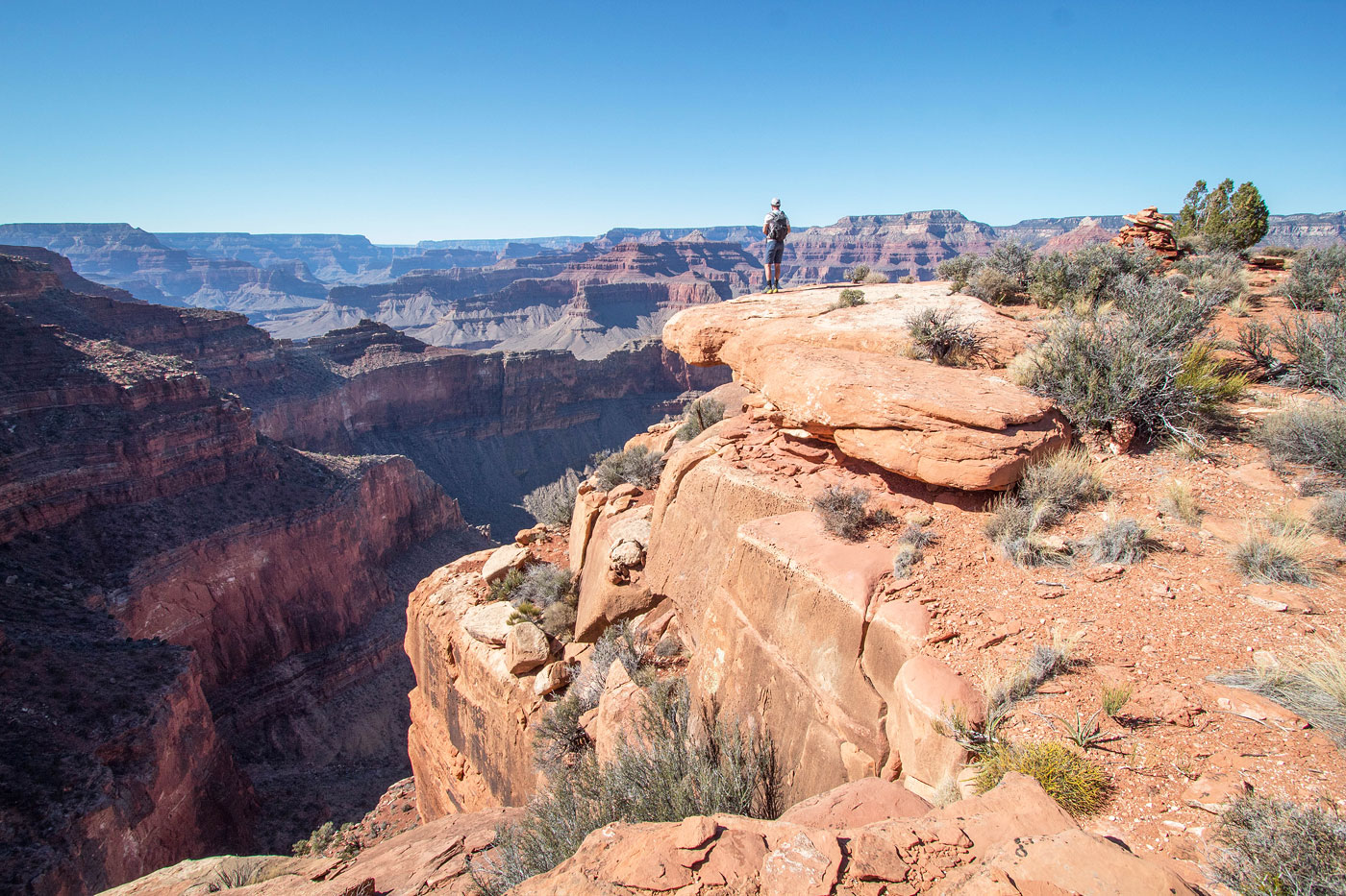
Past the chutes and cracks was a bit more easy navigating on Class 2/3 terrain to reach the summit area of The Battleship. Although the summit has some nice views, we continued a little farther north to get an insanely cool perspective of an impressive tower and significant drop separating us from it. We could also see the Bright Angel Trail's twisting form far below, and only with closer inspection we could see that there were people on it. The Grand Canyon really threw off our perception of distance.
Please consider helping me out if you find my site useful. I'm not sponsored, so all site fees are out-of-pocket and my time preparing these trip reports is unpaid. You can also hire me as a web developer. I really appreciate it!


If you find my site helpful, please help me replace my many broken cameras, fund my website fees (hosting, APIs, security), or just support my countless hours of work. I pay for all expenses myself, and all trip reports I post are unpaid and unsponsored, so any support is really appreciated!
If using PayPal, please select their option for "Sending to a friend" so they don't take out fees, thank you.
My site is free to use, but consider sending me a few bucks to help keep it running. Thanks in advance!