

Starting along the Coxcomb Trail.
The Coxcomb comes into view.
View back toward the way I came, Bear Mountain in the distance.
Approaching the base of The Coxcomb.
Junction with the Ground Control Trail. I headed right here.
Social trail junction I took, leaving the Ground Control Trail.
Social trail leading to the cliff base surrounding The Coxcomb.
The social trail is barely Class 2, but a bit steep. It keep 50 feet or so below the cliffs above.
View back along the social trail. Doe Mountain and Bear Mountain seen on the right.
The trail wraps around the north side and reaches a weakness in the cliff.
Class 2 ramp.
Above the Class 2, a Class 3 dihedral. Rocks were already piled up when I arrived.
View down the Class 3.
Class 3 move at the bottom of this photo, the mesatop ahead.
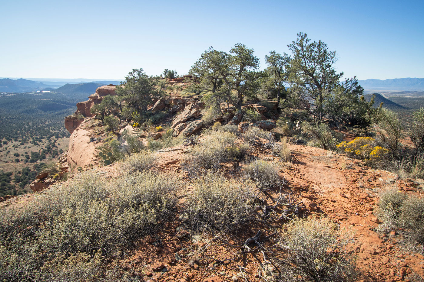
Along the mesatop to the high point.
The Coxcomb summit, view south.
Close-up toward Capitol Butte.
Hire me or show me some love!
Hire/refer me as a web developer or send me a few bucks if you find my site useful. I’m not sponsored, so all fees are out-of-pocket and my time preparing trip reports is unpaid. I really appreciate it!