

Starting out from the Oak Flat Trailhead
Looking back along the Oak Flat Trail.
Roosevelt Reservoir in the distance.
After a bit over a mile, you can see Browns Peak in the distance (a little bit of snow on there.
Approaching Browns Peak along the pretty poorly maintained Amethyst Trail.
Browns Peak just ahead. I hadn't seen a single person all day until merging with the Browns Trail, and wouldn't see anyone along the traverse either.
Looking back along the Browns Trail ridge.
The Class 2 section of Browns Peak.
Someone not having a good time who decided to turn around.
Looking down the gully after doing the short Class 3 section.
Looking back down the gully toward the Browns Trail ridge.
Almost to the summit.
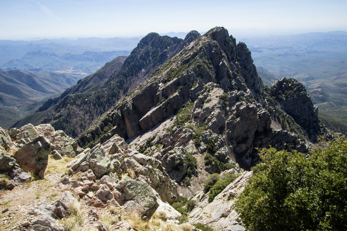
Looking out at the traverse from Browns Peak.
After descending Browns Peak, this is at the saddle heading toward Brother Peak.
Looking back toward Browns Peak from slightly past the saddle.
Continuing toward Brother Peak.
The Class 3/4 scramble - if you look closely, you'll see rappel webbing above.
Looking back toward Browns from the near-summit.
Getting close now!
Summit of Brother Peak.
I descended for a little bit on the left (east) away from the ridge because the down climb along the ridge looked ridiculously scary.
At the saddle after descending Brother Peak on the way to Sister Peak. The route gets a bit difficult to follow around here.
I got into that gully, then found some sort of strange route to get to the knife edge. I have no idea what I did, but it worked after much trial and error.
Summit of Sister Peak.
Amethyst Peak in the distance. The last one.
I found the gully that led down from Sister Peak to the saddle with Amethyst (pictured right).
Looking up toward Amethyst. I didn't take pictures at the Amethyst Peak summit, but the route is pretty straightforward. To my right is the gully leading down.
On the way down the gully.
Looking back up the gully, Amethyst Mine on the right.
Continuing on Private Property (Amethyst Mine), but finally I got back to an actual trail (Amethyst Trail).
Leaving private property.
Continuing along the Amethyst Trail.
Approaching Browns Peak on the right, but the Amethyst Trail stays at its base.
Looking back along the Amethyst Trail before meeting back up with the Browns Trail and heading back the way I came.
Hire me or show me some love!
Hire/refer me as a web developer or send me a few bucks if you find my site useful. I’m not sponsored, so all fees are out-of-pocket and my time preparing trip reports is unpaid. I really appreciate it!