

Hiking the steep, bad road to Colored Pass. There were some colorful formations along the way.
The road ended, so I took this gully up to Colored Pass above.
View back below Colored Pass.
At Colored Pass, view south at the start of the hike to Thomas Range High Point.
View back toward Thomas Ridge and the ridgeline leading to it.
Somewhat steep ascent, a bit rocky, but never exceeding Class 2.
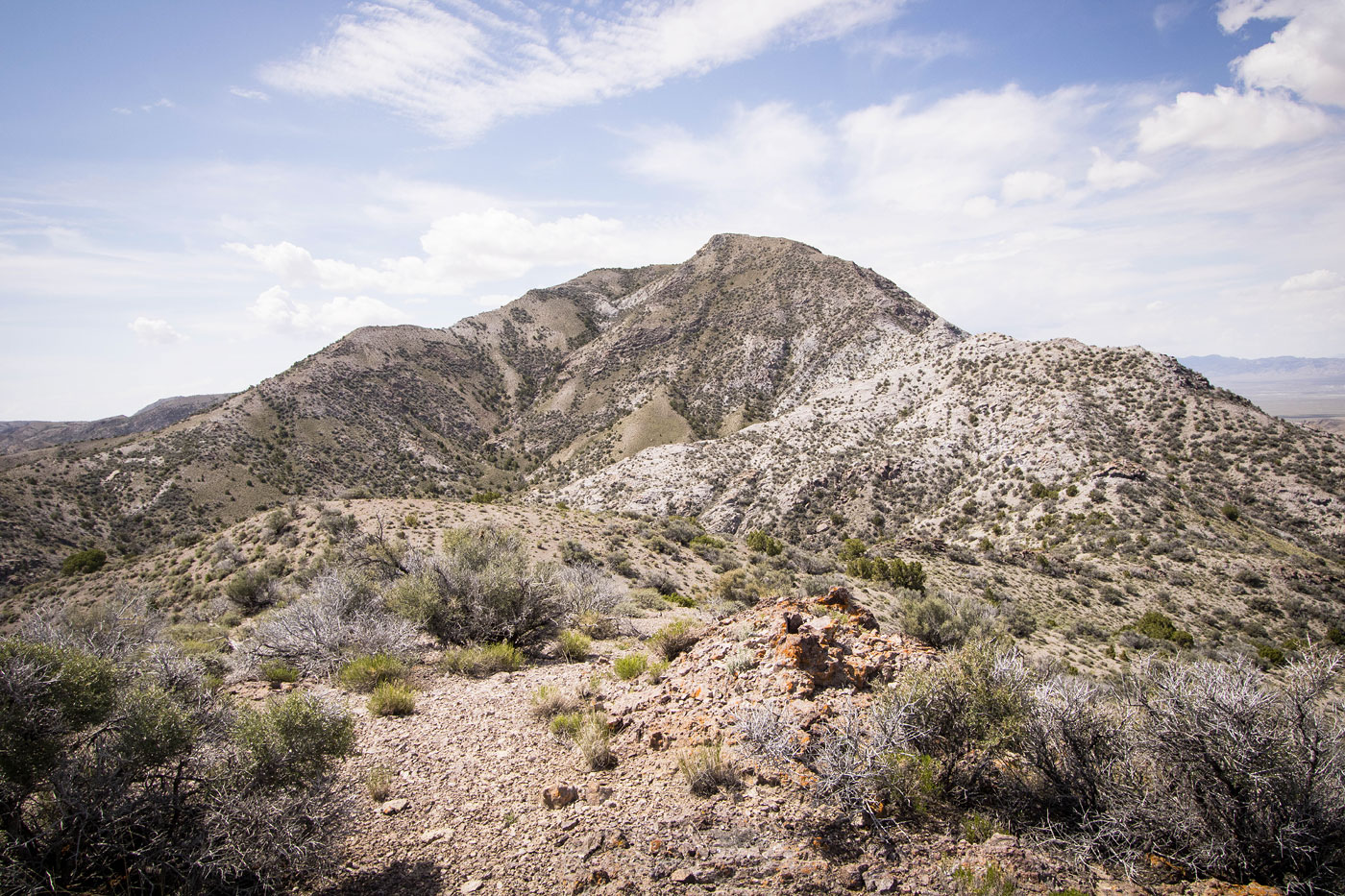
Thomas Range High Point seen ahead.
Undulating ridgeline to Thomas Range High Point.
Some very cool formations on the way up.
View back at my progress from Colored Pass (seen right of center).
The remaining ridgeline to Thomas Range High Point.
A cool bump along the way.
Crazy formations along the ascent.
Steep final push to the false summit.
More cool formations on the way to Thomas Range High Point.
View back along the ridgeline, Thomas Ridge (my second peak) seen top center.
At the false summit, continuing to the high point.
Thomas Range High Point seen left.
Thomas Range High Point, view south.
Onward to Thomas Ridge, Colored Pass seen just below.
View toward the colorful ridgeline to come. Thomas Ridge seen center.
Very cool colors along the narrow ridgeline.
View back, Thomas Range High Point seen right.
More cool color stripes.
Ascending along the ridgeline, Thomas Ridge seen center.
Another shot back along the ridgeline.
Thomas Ridge seen right.
Approaching Thomas Ridge.
Summit seen ahead. Class 2/2+ found on the right side.
Thomas Ridge summit, view toward Thomas Range High Point and an oncoming storm.
After backtracking, I took this descent option through a pretty canyon.
Cool outcroppings on the way down. Thomas Range High Point seen top left.
Hire me or show me some love!
Hire/refer me as a web developer or send me a few bucks if you find my site useful. I’m not sponsored, so all fees are out-of-pocket and my time preparing trip reports is unpaid. I really appreciate it!