

Thumb Butte Trailhead. You can see the peak in the center.
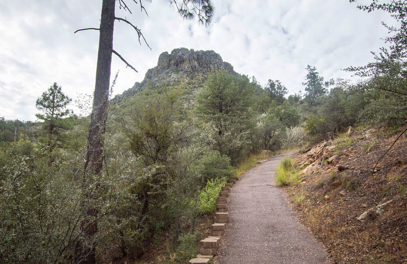
Steep, paved trail leading quickly up to the southwest side of Thumb Butte.
View back, Granite Mountain visible in the distance.
Almost to the base of Thumb Butte's rocky face.
A paved switchback.
At the southwest side of Thumb Butte. Take this social trail.
Steep, short social trail to the base of the peak.
Ascent options. Left leads to the fixed line (standard). Right goes to an alternative Class 3/3+ option in the unlikely case the rope isn't there.
Fixed rope up a slab.
View back down the crux.
Class 2/3 past the fixed rope to gain the summit ridge.
View back down the scramble.
Thumb Butte summit ahead. Some blocky Class 2/2+ route-finding required to get there.
Close-up at the short ridge scramble.
Granite Mountain to the north.
Close-up toward Granite Mountain to the north.
View toward Prescott, AZ.
View back along the ridge.
Now back to the official trail system, view up toward Thumb Butte. I took an alternative route down to form a little loop.
Cute scenery.
The loop led me back to the trailhead.
Hire me or show me some love!
Hire/refer me as a web developer or send me a few bucks if you find my site useful. I’m not sponsored, so all fees are out-of-pocket and my time preparing trip reports is unpaid. I really appreciate it!