I provide a free route map, but you can also download a hike/drive GPX to assist you and to help support my site. Before sharing my GPX tracks with others, please remember my site is a free resource and I'm charging nominal fees to offset my substantial costs.
GPX track added to your cart.
Dec 17, 2022 — The McCullough Hills Trailhead serves as a portal for a local trail system at the foothills of the McCullough Range. Mountain bikers and families seem to use the trails quite a bit, but this route leaves the main trail system in order to access a minor summit called Tortoise Shell Peak. This being a favorite trail hike close to the city, I figured I'd finally write up a little report. For a longer outing to the higher reaches of the range, check out Black Mountain nearby.
I started on the well-labeled Trail 601, which points the way when rogue trails lead in the wrong direction. The trail begins quite wide, slowly narrowing as it leads through a drainage and up to a slope on the peak's southeast side. I reached a junction at around 2800' where Trail 601 leads west (left) to ultimately form a loop in the foothills, but I continued to the right up a steeper and unmarked trail. This trail seems to also get quite a bit of traffic, so it's quite easy to follow. At 3100' another unmarked junction marked the spot where I'd end my mini summit loop. Past here expect some boulders on the trail and even some light scrambling. I chose to ascend to the right first, which leads to Tortoise Shell Peak's eastern ridge. Still easy to follow, the trail gains elevation much more steeply and then becomes much more rocky along the ridgeline as it makes its way to the radio towers on the summit.
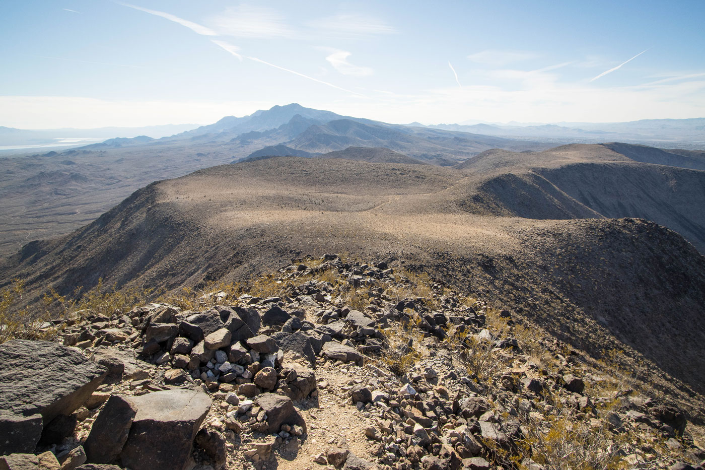
The views from Tortoise Shell Peak are actually surprisingly nice to the south, plus it's a cool experience to see Las Vegas below to the north. I continued to the west side of the peak where a social trail leads down a short spurt of Class 2 on large volcanic boulders and onto the sweeping ridgeline below. The trail then continues to the top of some tight switchbacks and ultimately joins back up with the unmarked trail I was on earlier.
Please consider helping me out if you find my site useful. I'm not sponsored, so all site fees are out-of-pocket and my time preparing these trip reports is unpaid. You can also hire me as a web developer. I really appreciate it!


If you find my site helpful, please help me replace my many broken cameras, fund my website fees (hosting, APIs, security), or just support my countless hours of work. I pay for all expenses myself, and all trip reports I post are unpaid and unsponsored, so any support is really appreciated!
If using PayPal, please select their option for "Sending to a friend" so they don't take out fees, thank you.
My site is free to use, but consider sending me a few bucks to help keep it running. Thanks in advance!