

Official trailhead for Palm Wash Slots.
Starting up the West Fork.
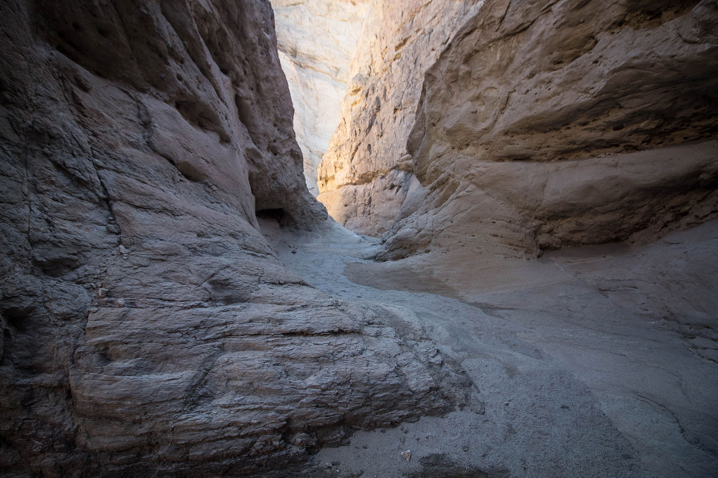
Avoiding a tiny bit of water in West Fork.
Open section within West Fork before it narrows back up again. We crossed the dirt road leading to the Calcite Mine site at some point.
More
A chockstone obstacle with a Class 5 move. If this is too hard, head back to the road and follow it to the Calcite Mine site.
Above the chockstone obstacle, we exited the canyon using this Class 3 option.
Past the Calcite Mine site, view south. You can see the Calcite Mine above Austin on the left.
Travelers Peak out of frame along the ridge.
Looking back at our progress.
Travelers Peak coming into view in the center.
Travelers Peak ahead.
Avoiding a rock outcropping.
Class 2 stuff to avoid a rock outcropping. Travelers Peak visible in the sun on the right.
Travelers Peak just ahead.
Short Class 2+ scramble toward the summit.
Class 2+ close-up.
Travelers Peak summit, view south toward the Salton Sea.
Travelers Peak summit, view northwest into Anza-Borrego Desert State Park.
We returned to the Calcite Mine site and followed a small drainage to a dryfall. After avoiding the dryfall by going just north, we found the crack visible on the left in this photo. It provided Class 2 access into the East Fork of Palm Wash.
First handline obstacle in East Fork.
And more gorgeous narrows.
Second handline obstacle in East Fork.
Continuing through the narrows of East Fork and back to the car.
2015 photo: Overlooking badlands of Anza-Borrego. West Fork visible below, Travelers Peak in the center distance.
Hire me or show me some love!
Hire/refer me as a web developer or send me a few bucks if you find my site useful. I’m not sponsored, so all fees are out-of-pocket and my time preparing trip reports is unpaid. I really appreciate it!