

From our parking spot, view toward Peak 3360, center. You can see Whiley ascending the slope leading to the peak.
Peak 3060 ahead, scree slope visible center.
Along an animal trail avoiding the worst of the scree slope.
Looking back along the scree slope. We ascended from the right. Boundary Cone peeking out top left.
Wrapping around to the north side of Peak 3060. We headed to the notch left of center.
Looking back from the top of the notch.
Class 2+ to the summit.
Looking back at the Class 2+ cliff bands, the notch we ascended from visible center.
Summit of Peak 3060, view toward Peerless Peak (center) and Boundary Cone behind it.
Close-up toward Mount Nutt and Oatman, AZ.
Continuing down the east ridge from Peak 3060. You can see a butte obstacle coming up on the left. You could avoid it on the right by dropping pretty far down, or head around the left side and descend a loose slope/gully.
Approaching the butte obstacle.
Looking back up toward Peak 3360.
Peak 3072 ahead.
Looking back toward the butte obstacle. We descended from the steep slope/gully in the center.
Ascending Class 2+ terraces on our way up to Peak 3072.
View toward Peak 3360 and the butte obstacle (right).
Very cool rock formation along the ridge to the summit of Peak 3072.
Cool curves, Boundary Cone in the distance.
Ridge to Peak 3072.
Looking back down the ridge from the summit of Peak 3072.
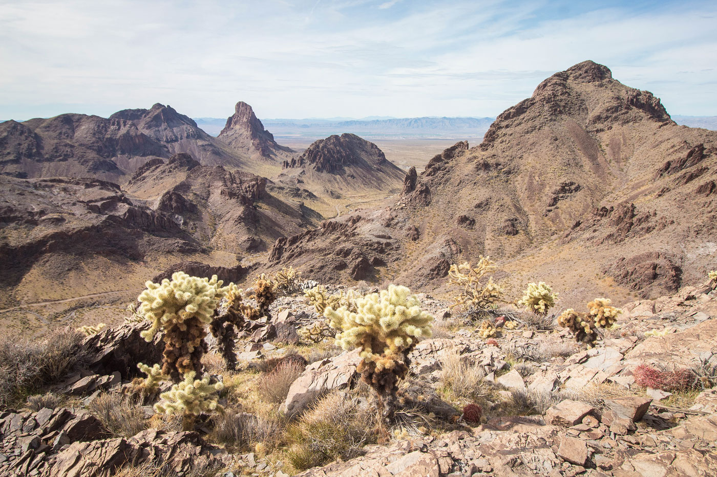
Along the cholla-filled summit ridge of Peak 3072.
View toward Boundary Cone and Peak 3360 (right).
On our way down from Peak 3072, Peak 3065 is next.
Class 2 on our way up Peak 3065.
More fun Class 2 to the summit of Peak 3065. You can make it harder, but we kept the route Class 2.
Peak 3065, view toward Boundary Cone (left) and Peak 3360 (top right).
Descending from Peak 3065. I would probably recommend backtracking to the saddle between 3072 and 3065 and take the more pleasant gully than this descent route.
Our descent route from Peak 3065.
Along a mining road, which we took back to the car. You can see Peak 3360's cliffs ahead.
Hire me or show me some love!
Hire/refer me as a web developer or send me a few bucks if you find my site useful. I’m not sponsored, so all fees are out-of-pocket and my time preparing trip reports is unpaid. I really appreciate it!