

Heading northwest from the parking lot into a wash.
The wash bends west and enters the sandstone jungle.
Class 2/3 obstacles as I work west.
Canyon narrows significantly.
Looking back down the narrow section.
Continuing to the end of the narrow section back into an open wash.
Following a major wash northwest.
My choice of canyon to leave the major wash, heading southwest.
Boulder obstacles.
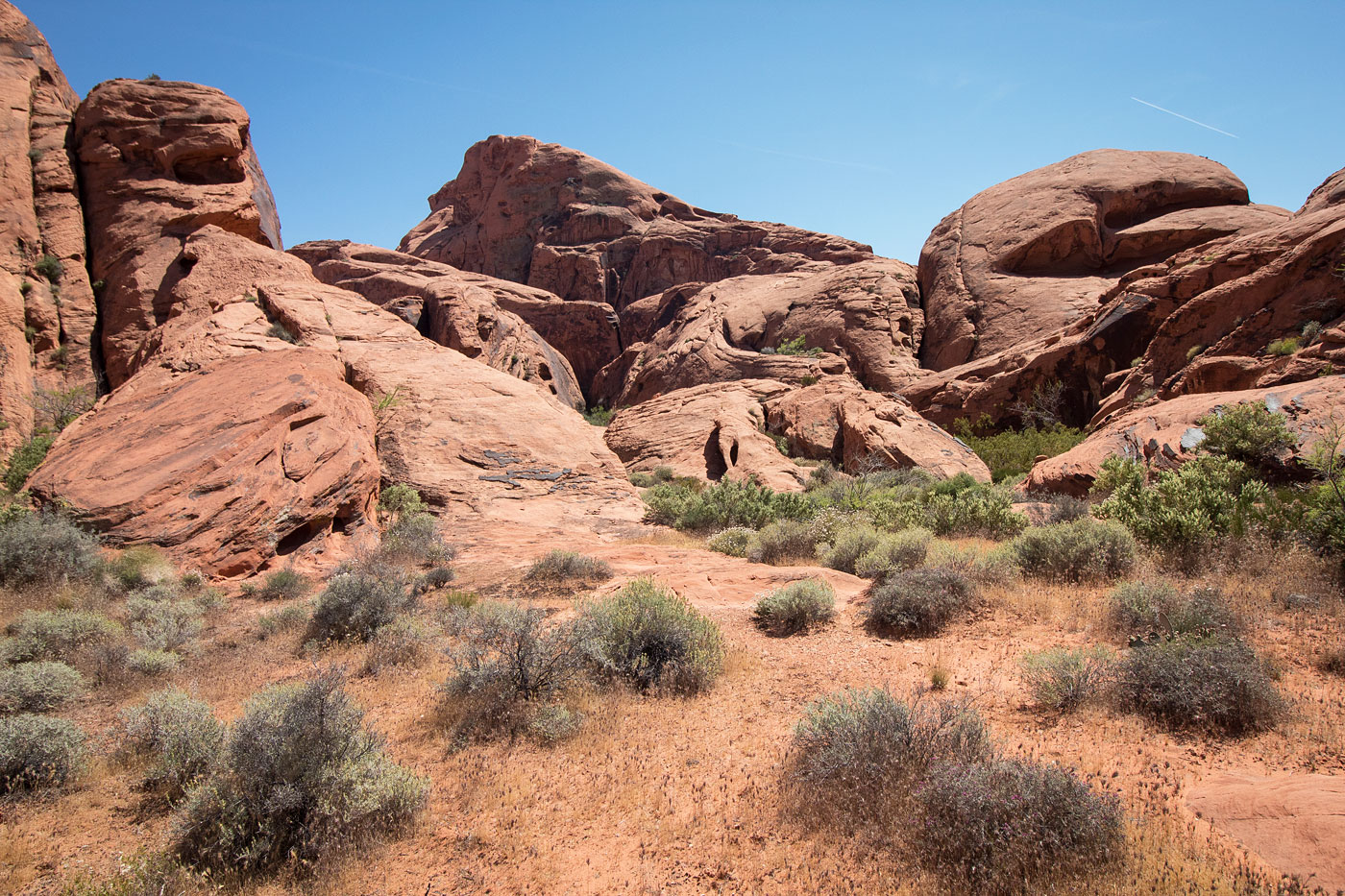
More boulder obstacles as I weave north and south, navigating the maze of red rocks.
A glimpse of Valley of Fire Peak on the left. Some arches also visible.
Entering another major wash that heads northwest.
Eventually the major wash curves back southwest.
Valley of Fire Peak visible ahead! To get to it, you could head up to the notch on the far right in this photo, or continue weaving in washes to get around (refer to map where the "slot" is).
Heading up to the notch, using the slot approach.
Valley of Fire Peak ahead, the slot below.
Through the slot, heading west.
After the slot, this is where the alternate approach would meet up. I followed this bushy canyon south.
The rock rib that leads into the slickrock and out of the bushes.
Looking back toward the maze.
Class 3 section.
Looking back toward the Class 3 section, another Class 3 section visible on the left.
After the Class 3, continuing up slickrock.
Picnic table visible center.
Valley of Fire Peak summit, looking north toward the maze I just navigated through. Virgin Peak visible top right.
Close-up of the maze.
The other option, if not taking the recommended "slot section" (see map). The wash heads north and then back south, avoiding a rock outcropping.
Along the alternate option.
Alternate option from the slot, at the start of the bushy canyon that rejoins with the slot section route.
Hire me or show me some love!
Hire/refer me as a web developer or send me a few bucks if you find my site useful. I’m not sponsored, so all fees are out-of-pocket and my time preparing trip reports is unpaid. I really appreciate it!