I provide a free route map, but you can also download a hike/drive GPX to assist you and to help support my site. Before sharing my GPX tracks with others, please remember my site is a free resource and I'm charging nominal fees to offset my substantial costs.
GPX track added to your cart.
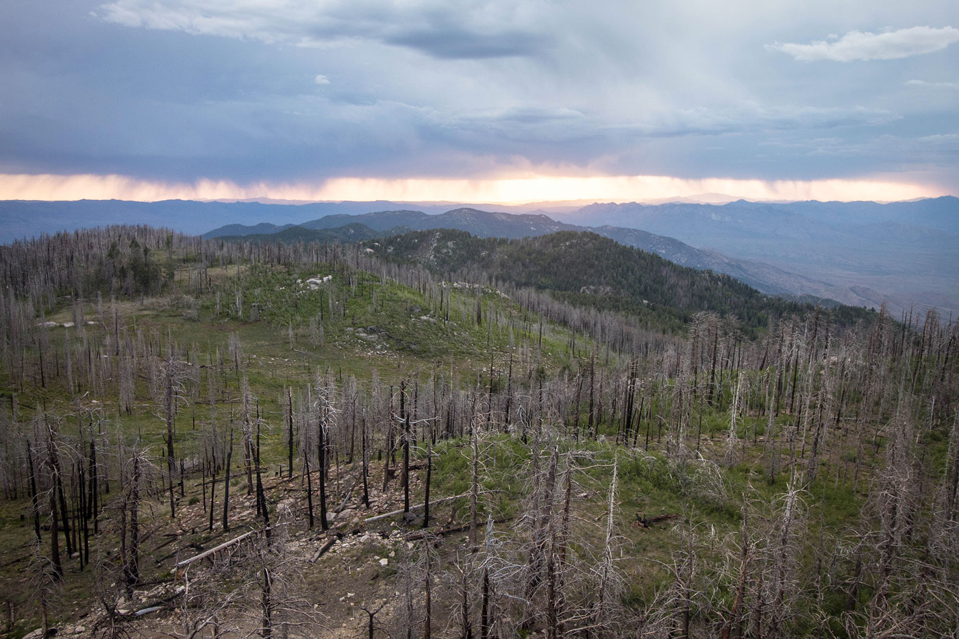
May 31, 2020 — A relatively short walk on a dirt road closed to motor vehicles leads to the Webb Peak lookout tower. It's a forested, though relatively pretty walk, if unevenful. There were some nice views to the west as we headed up, but the highlight is definitely the summit, which included views of Mount Graham to the south and forested, pretty peaks I couldn't name to the north.
Some maps made it seem like a trail on the northeast side of Webb Peak exists, but after attemping to get to the trailhead and instead basically trespassing by accident, we gave up and took the standard road route.
Please consider helping me out if you find my site useful. I'm not sponsored, so all site fees are out-of-pocket and my time preparing these trip reports is unpaid. You can also hire me as a web developer. I really appreciate it!


If you find my site helpful, please help me replace my many broken cameras, fund my website fees (hosting, APIs, security), or just support my countless hours of work. I pay for all expenses myself, and all trip reports I post are unpaid and unsponsored, so any support is really appreciated!
If using PayPal, please select their option for "Sending to a friend" so they don't take out fees, thank you.
My site is free to use, but consider sending me a few bucks to help keep it running. Thanks in advance!