

Western trailhead for the Pilot Peak Trail.
The trail heads through a really pretty and unique landscape.
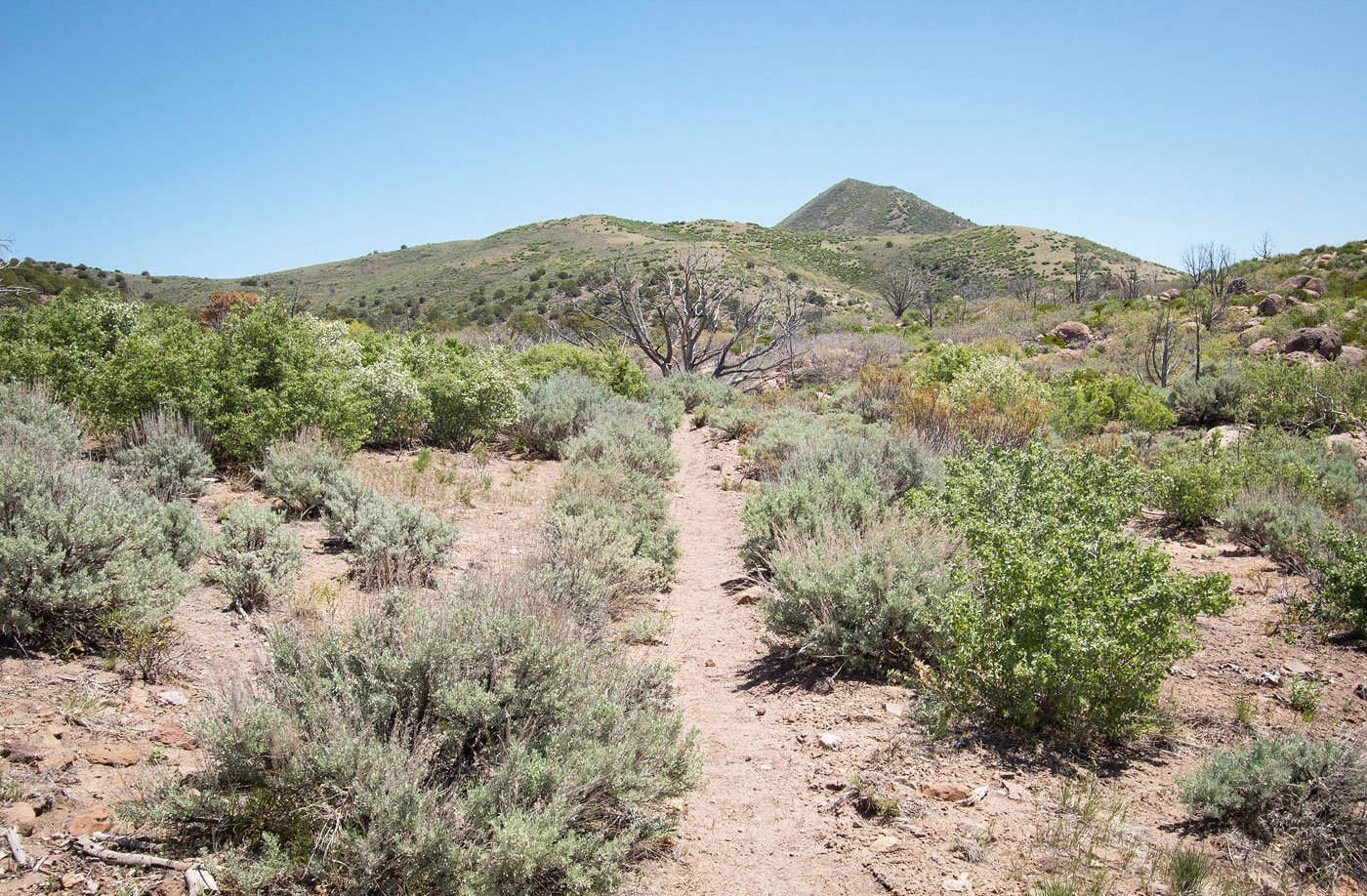
View back the way I came.
Some weird rock formations shortly after the trail starts.
Pilot Peak Trail leads through some nice meadows.
Windy Peak comes into view.
View back as the trail ascends toward Windy Peak.
The trail heads up toward the meadowy landscape ahead.
Pilot Peak Trail winds around the grassy hills.
Very pretty grassy section.
Windy Peak comes into view.
View back the way I came (from within the trees on the left).
At the saddle of Windy Peak and Flat Top Mountain.
A spur trail leads to just below Windy Peak.
Northern base of Windy Peak.
View as I ascend animal trails up the steep Windy Peak. Flat Top Mountain visible up top.
Rough ascent to Windy Peak.
Windy Peak summit, view south.
Windy Peak summit, view west toward the Enterprise Reservoir (right) and Lost Peak (far left).
Windy Peak summit, view toward Flat Top Mountain (left) and Pilot Peak (right). The Pilot Peak Trail follows the base of Flat Top Mountain.
Back along the Pilot Peak Trail, heading toward Pilot Peak.
View back toward Windy Peak. You can see the Pilot Peak Trail is a bit faded.
Continuing along the base of Flat Top Mountain as I continue along the Pilot Peak Trail.
View back toward Windy Peak.
Pilot Peak comes into view (center).
Passive through some old fence.
View back toward Windy Peak and my progress along the trail.
Pilot Peak (right). The trail leads to the saddle visible center.
At the saddle (Flat Top Mountain behind me), view toward Pilot Peak. I followed the fenceline.
Along the fenceline on a hump before Pilot Peak.
Class 2 to Pilot Peak's summit.
Pilot Peak summit, view northeast. The Pilot Peak eastern trailhead is just down there.
Pilot Peak summit, view toward the route I came up. You can see the hump along the ridge to Pilot Peak (center), Flat Top Mountain (top right), and Windy Peak (top left). I headed back to the saddle of Pilot and Flat Top (center).
Close-up toward Flat Top Mountain. My ascent led up right of center where the majority of the volcanic boulders are. They helped avoid most of the brush.
Pilot Peak summit, view south.
Back at the saddle of Pilot Peak and Flat Top Mountain, heading toward Flat Top.
Ascending the slope to the volcanic boulders that helped avoid brush.
View back down the slope of Flat Top Mountain I headed up (Class 2 section). You can see Pilot Peak in the center.
At the rim of Flat Top Mountain. I headed over to the tower visible ahead where I picked up a degraded dirt road.
Along the barely visible dirt road, heading toward the high point of Flat Top Mountain (center).
Pretty wildflowers after the dirt road faded away.
Flat Top Mountain summit.
Flat Top Mountain summit, view north.
I dropped down to the west onto a dirt road. View looking back toward Flat Top Mountain's summit.
I followed the dirt road south.
View back toward Flat Top Mountain before leaving the rim.
Light bushwhacking down from Flat Top Mountain. Windy Peak visible left of center.
Almost down from Flat Top Mountain, where I picked up the Pilot Peak Trail and headed back.
Hire me or show me some love!
Hire/refer me as a web developer or send me a few bucks if you find my site useful. I’m not sponsored, so all fees are out-of-pocket and my time preparing trip reports is unpaid. I really appreciate it!