I provide a free route map, but you can also download a hike/drive GPX to assist you and to help support my site. Before sharing my GPX tracks with others, please remember my site is a free resource and I'm charging nominal fees to offset my substantial costs.
GPX track added to your cart.
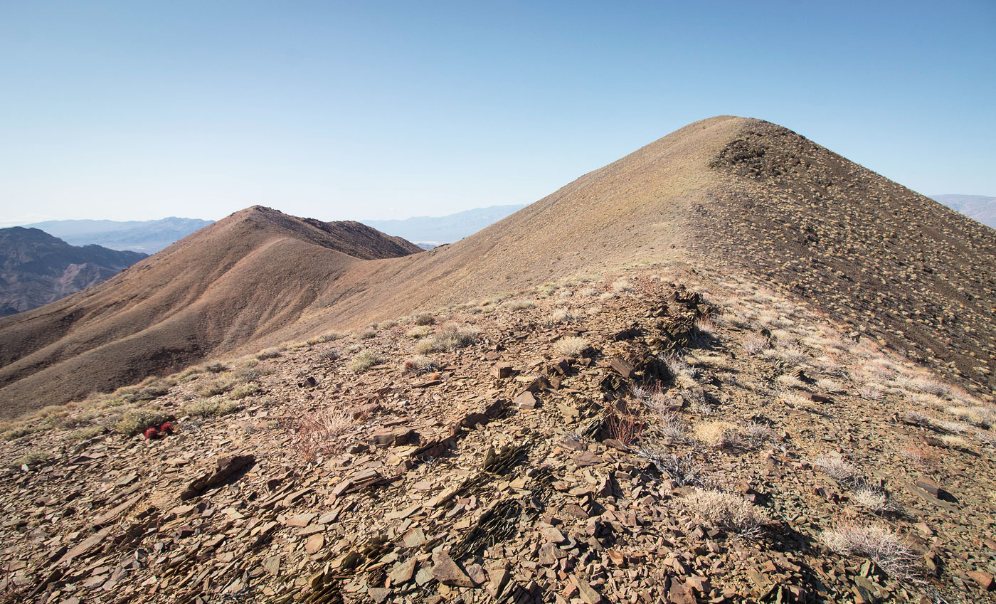
Mar 20, 2021 — Winters Peak is best accessed via Echo Canyon Road, passable by mid-clearance, and overall a pretty fun road to drive on. It winds back and forth and has short sections of pretty narrows. I parked at an old sign and headed up the major drainage leading north. I followed the drainage to its head, the entire way hiking on easy gravel. The route got a bit more steep when ascended to the ridge above the drainage. I followed the ridge west to the summit of Winters Peak. The views into Death Valley are nice, but the hike is overall pretty boring.
Please consider helping me out if you find my site useful. I'm not sponsored, so all site fees are out-of-pocket and my time preparing these trip reports is unpaid. You can also hire me as a web developer. I really appreciate it!


If you find my site helpful, please help me replace my many broken cameras, fund my website fees (hosting, APIs, security), or just support my countless hours of work. I pay for all expenses myself, and all trip reports I post are unpaid and unsponsored, so any support is really appreciated!
If using PayPal, please select their option for "Sending to a friend" so they don't take out fees, thank you.
My site is free to use, but consider sending me a few bucks to help keep it running. Thanks in advance!