I provide a free route map, but you can also download a hike/drive GPX to assist you and to help support my site. Before sharing my GPX tracks with others, please remember my site is a free resource and I'm charging nominal fees to offset my substantial costs.
GPX track added to your cart.
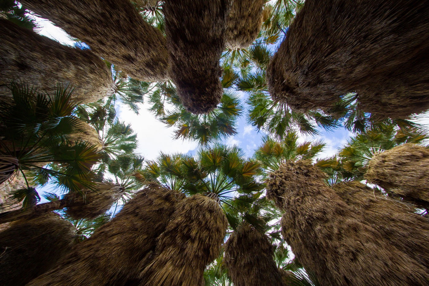
Jan 11, 2017 — Starting in the Borrego Palm Campground (where you need to pay for day use), follow the well-worn trail through the progressively narrowing Borrego Palm Canyon. The trail is easy to follow and crosses a flowing stream a couple of times. The trail leads along the northern side of the drainage after the palm grove comes into view, and then drops down to them. Signs and a blockade attempt to prevent visitors from leaving the trail and getting too close to the palms to help them grow, creating a small viewing area. If you're into peakbagging, the route continues to Indianhead from here.
Please consider helping me out if you find my site useful. I'm not sponsored, so all site fees are out-of-pocket and my time preparing these trip reports is unpaid. You can also hire me as a web developer. I really appreciate it!


If you find my site helpful, please help me replace my many broken cameras, fund my website fees (hosting, APIs, security), or just support my countless hours of work. I pay for all expenses myself, and all trip reports I post are unpaid and unsponsored, so any support is really appreciated!
If using PayPal, please select their option for "Sending to a friend" so they don't take out fees, thank you.
My site is free to use, but consider sending me a few bucks to help keep it running. Thanks in advance!