I provide a free route map, but you can also download a hike/drive GPX to assist you and to help support my site. Before sharing my GPX tracks with others, please remember my site is a free resource and I'm charging nominal fees to offset my substantial costs.
GPX track added to your cart.
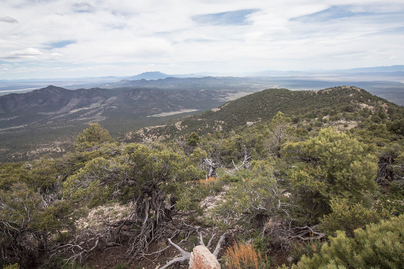
May 16, 2020 — Grassy Mountain isn't necessarily a bad peak as much as it's just a boring one. From the trailhead, accessible by any car, I headed north through the sparse trees and located a very old dirt road. I followed this road as it began ascending a ridge until it became hard to follow. I quickly gave up looking for it and instead just continued along the ridge, passing a couple of Class 2 obstacles, but for the most part just dodging trees and burning my quads on the incline. I eventually made it to the south ridge and followed it to the summit, where there were some nice views to the north. Otherwise, kind of a boring peak.
Please consider helping me out if you find my site useful. I'm not sponsored, so all site fees are out-of-pocket and my time preparing these trip reports is unpaid. You can also hire me as a web developer. I really appreciate it!


If you find my site helpful, please help me replace my many broken cameras, fund my website fees (hosting, APIs, security), or just support my countless hours of work. I pay for all expenses myself, and all trip reports I post are unpaid and unsponsored, so any support is really appreciated!
If using PayPal, please select their option for "Sending to a friend" so they don't take out fees, thank you.
My site is free to use, but consider sending me a few bucks to help keep it running. Thanks in advance!