I provide a free route map, but you can also download a hike/drive GPX to assist you and to help support my site. Before sharing my GPX tracks with others, please remember my site is a free resource and I'm charging nominal fees to offset my substantial costs.
GPX track added to your cart.
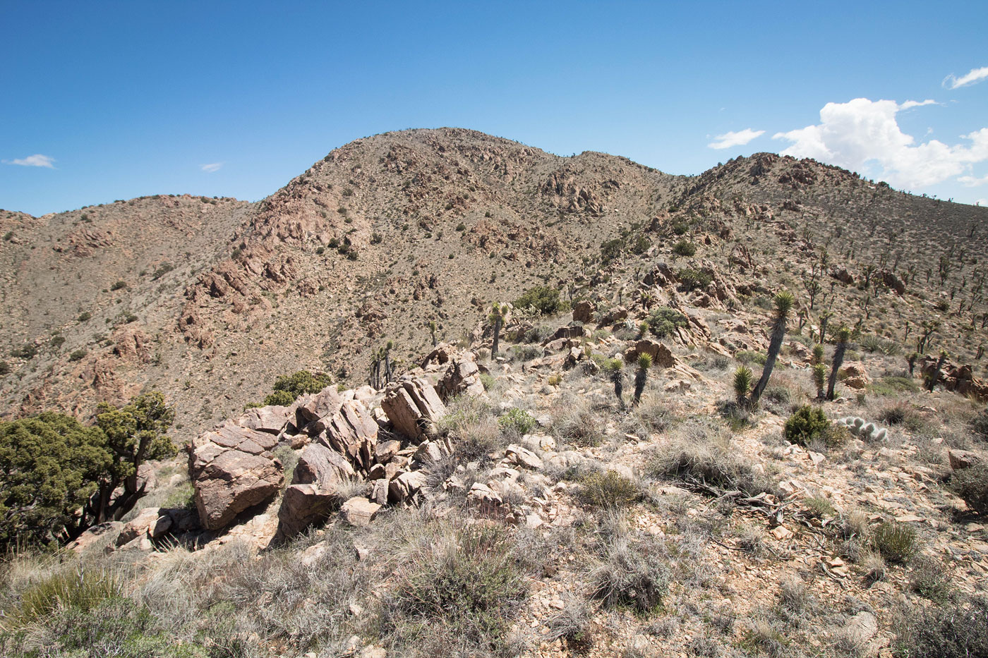
Apr 13, 2020 — Just across the street from the NPS-advertised Teutonia Peak Trail, Kessler Peak is often overlooked. I parked along a decent dirt road at a campsite and headed east toward the peak. Some light bushwhacking through desert shrubs led me to the northwest ridge, where I stumbled on a social trail. The social trail generally stayed along the ridgeline, keeping to the right to avoid some rockiness about halfway up. The last bit from the false summit to the true summit is steeper than the rest of the hike, but a social trail helped keep it very low Class 2.
Please consider helping me out if you find my site useful. I'm not sponsored, so all site fees are out-of-pocket and my time preparing these trip reports is unpaid. You can also hire me as a web developer. I really appreciate it!


If you find my site helpful, please help me replace my many broken cameras, fund my website fees (hosting, APIs, security), or just support my countless hours of work. I pay for all expenses myself, and all trip reports I post are unpaid and unsponsored, so any support is really appreciated!
If using PayPal, please select their option for "Sending to a friend" so they don't take out fees, thank you.
My site is free to use, but consider sending me a few bucks to help keep it running. Thanks in advance!