Mar 09, 2019 — Saddle Mountain is a big mountain poking out from the flat surrounding Arizona desert. The northern base of Saddle Mountain is a surprisingly popular area for campers and ATVers. To reach the trailhead, head south here (33.46466392, -113.036587) and drive to the road's end. The road is a bit rocky, but fine for any vehicle. If not, it's only a mile along this road so just walk it.
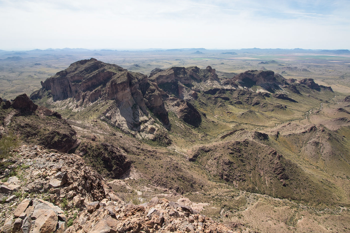
An obvious trail starts southeast and then turns south, leading to a break in the cliffy north side of Saddle Mountain. The trail then becomes slightly less easy to follow as it starts to ascend the peak, but the route has cairns to help guide the way. There are a lot of small cliff bands that the trail weaves around as it makes its way up the slope and to a weakness on Saddle Mountain's east ridge. There wasn't any tricky route-finding, but there were some short Class 2 moves along the way, including a Class 2 slab. Once we made our way along the east ridge, we kept to the rim and made out way to the mountain's cliff-guarded summit.
Please consider helping me out if you find my site useful. I'm not sponsored, so all site fees are out-of-pocket and my time preparing these trip reports is unpaid. You can also hire me as a web developer. I really appreciate it!


If you find my site helpful, please help me replace my many broken cameras, fund my website fees (hosting, APIs, security), or just support my countless hours of work. I pay for all expenses myself, and all trip reports I post are unpaid and unsponsored, so any support is really appreciated!
If using PayPal, please select their option for "Sending to a friend" so they don't take out fees, thank you.
My site is free to use, but consider sending me a few bucks to help keep it running. Thanks in advance!