

Antelope Peak seen from the trailhead.
Heading through the desert, Joshua trees framing Antelope Peak. We headed up the slope in the center of this photo to reach the cliff base.
Staring up the slope, most of the worst cacti gone now.
View back down the slope we chose to ascend.
Nearing the base of Antelope Peak. We wrapped around it on the right.
View back as we wrap around the cliff base.
Wrapping around the awesome volcanic cliff.
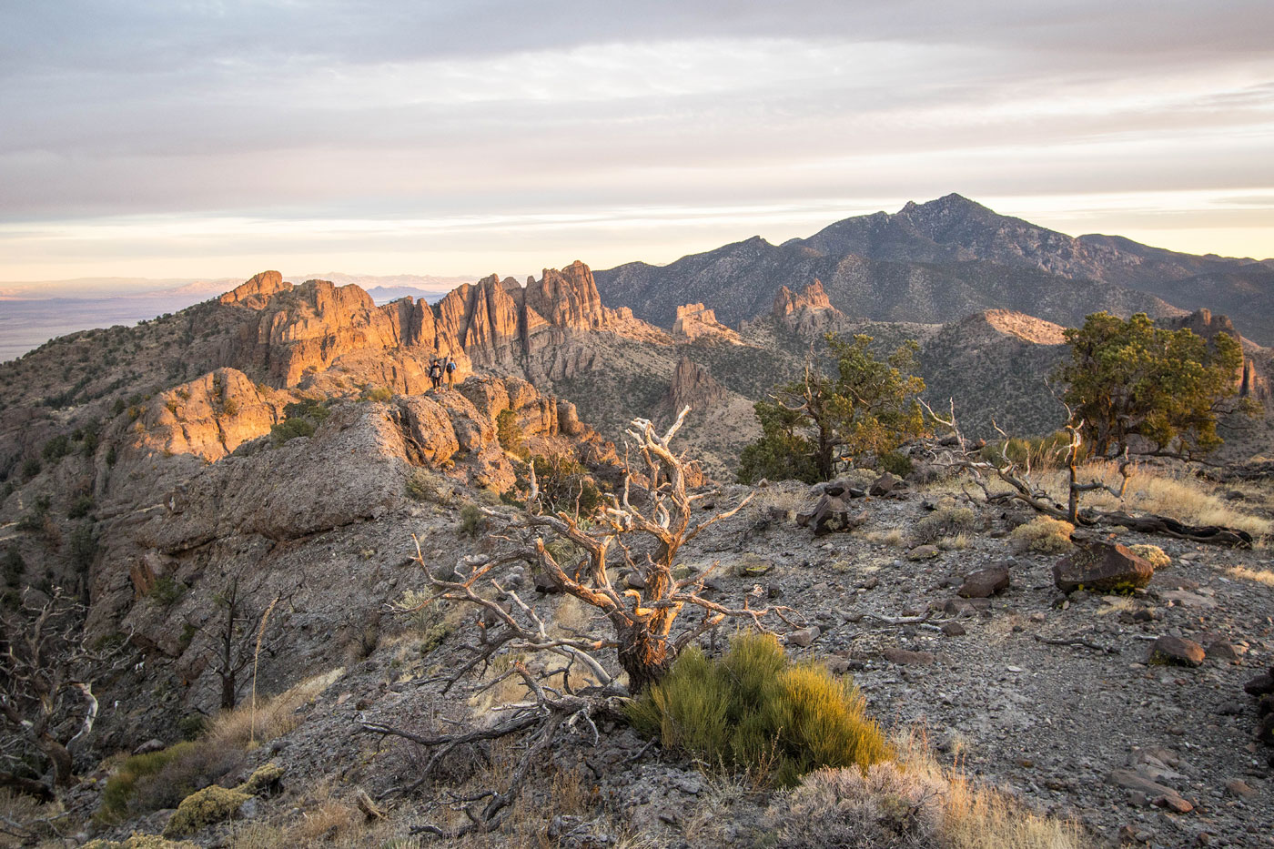
We rounded the south side of Antelope Peak and got this view of Mount Tipton and amazing faces of the volcanic formations in this unique area.
Class 2 gully option formed by the notch separating the pinnacle (left) and Antelope Peak (right).
View back down the Class 2 gully.
At the notch, some Class 2/3 scrambling on solid rock.
View back toward the notch and pinnacle.
After some fun Class 2/3, we reached this view of a slope leading to a break in the cliffs. We headed up the gully in the center.
View back down the gully from the notch at the top.
Past the notch, one Class 3 move.
View down the Class 3 move, just below the summit.
Summit of Antelope Peak, view toward the volcanic ridge and Mount Tipton in the distance.
Closer view as the sun set more.
Close-up of the volcanic ridge.
View north.
Hire me or show me some love!
Hire/refer me as a web developer or send me a few bucks if you find my site useful. I’m not sponsored, so all fees are out-of-pocket and my time preparing trip reports is unpaid. I really appreciate it!