

Starting from the Columbine Campground along a trail labeled on maps as 096. It will lead up to the Toiyabe Crest Trail.
The trail heads through meadows.
A junction with a poorly-labeled sign. Left keeps to the standard route, right goes up the Stewart Creek Trail. It looked like a good trail, but I kept left.
Emerging into more meadows.
Looking back along the trail. Columbine Campground is down in the center somewhere.
Entering a major drainage along the Trail 096.
The trail begins climbing the left slope of the drainage.
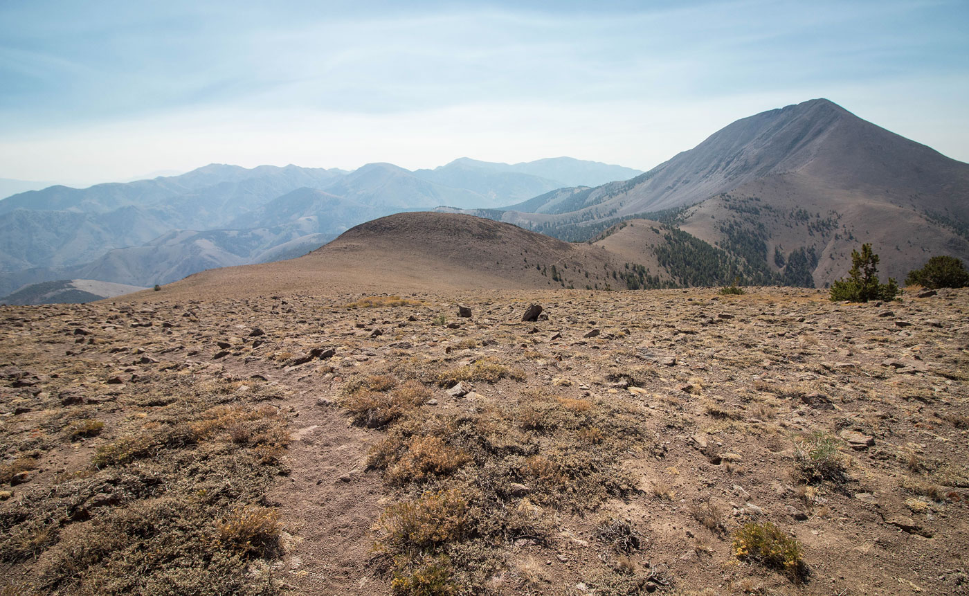
The trail continues to the saddle visible center.
Looking back, the Columbine Campground is somewhere in the center far below. Once near the top of the drainage around this point, trail 096 meets ends when it meets with the Toiyabe Crest Trail. The Toiyabe Crest Trail continues south.
Along the Toiyabe Crest Trail, photo taken once I was out of the drainage and at a minor pass between two unnamed points. The Toiyabe Crest Trail leads up the slope in the center of this photo to the saddle visible in the distance.
The Toiyabe Crest Trail descends a couple hundred feet before reascending up the wide slope ahead.
Passing through some minor talus as the trail starts ascending the wide slope.
Looking back toward the minor pass I descended from.
Ascending the wide slope.
Looking back again, the pass I descended from in the center. Just behind me is a slightly rocky section that I'd use to gain the Arc Dome ridgeline.
Looking back once on the ridgeline, the wide slope I just ascended visible center left.
Along the ridge via the Toiyabe Crest Trail. North Arc Dome is poking out on the far left.
Junction, keep left. The Toiyabe Crest Trail continues to the right, but I'm going to Arc Dome. ;) Arc Dome seen poking out on the left.
Looking back along the ridge.
North Arc Dome on the left. I left the Arc Dome Trail as a brief detour. Arc Dome visible on the right.
Ascending to North Arc Dome.
View north along the ridge from North Arc Dome.
View south from North Arc Dome, Arc Dome visible ahead.
Back on the Arc Dome Trail, descending to the saddle of North Arc Dome and Arc Dome.
Another shot of Arc Dome as I descend.
Looking back.
Arc Dome.
Starting up to Arc Dome from the saddle.
Just above the saddle as I ascend to Arc Dome, looking back toward North Arc Dome (out of sight on the left).
View back along the trail, North Arc Dome on the left.
Final push to the summit.
Arc Dome summit, view southeast. Mount Jefferson visible top left.
Close-up of Mount Jefferson (distance) and Toiyabe Dome (right of center).
Arc Dome summit, view north.
Hire me or show me some love!
Hire/refer me as a web developer or send me a few bucks if you find my site useful. I’m not sponsored, so all fees are out-of-pocket and my time preparing trip reports is unpaid. I really appreciate it!