I provide a free route map, but you can also download a hike/drive GPX to assist you and to help support my site. Before sharing my GPX tracks with others, please remember my site is a free resource and I'm charging nominal fees to offset my substantial costs.
GPX track added to your cart.
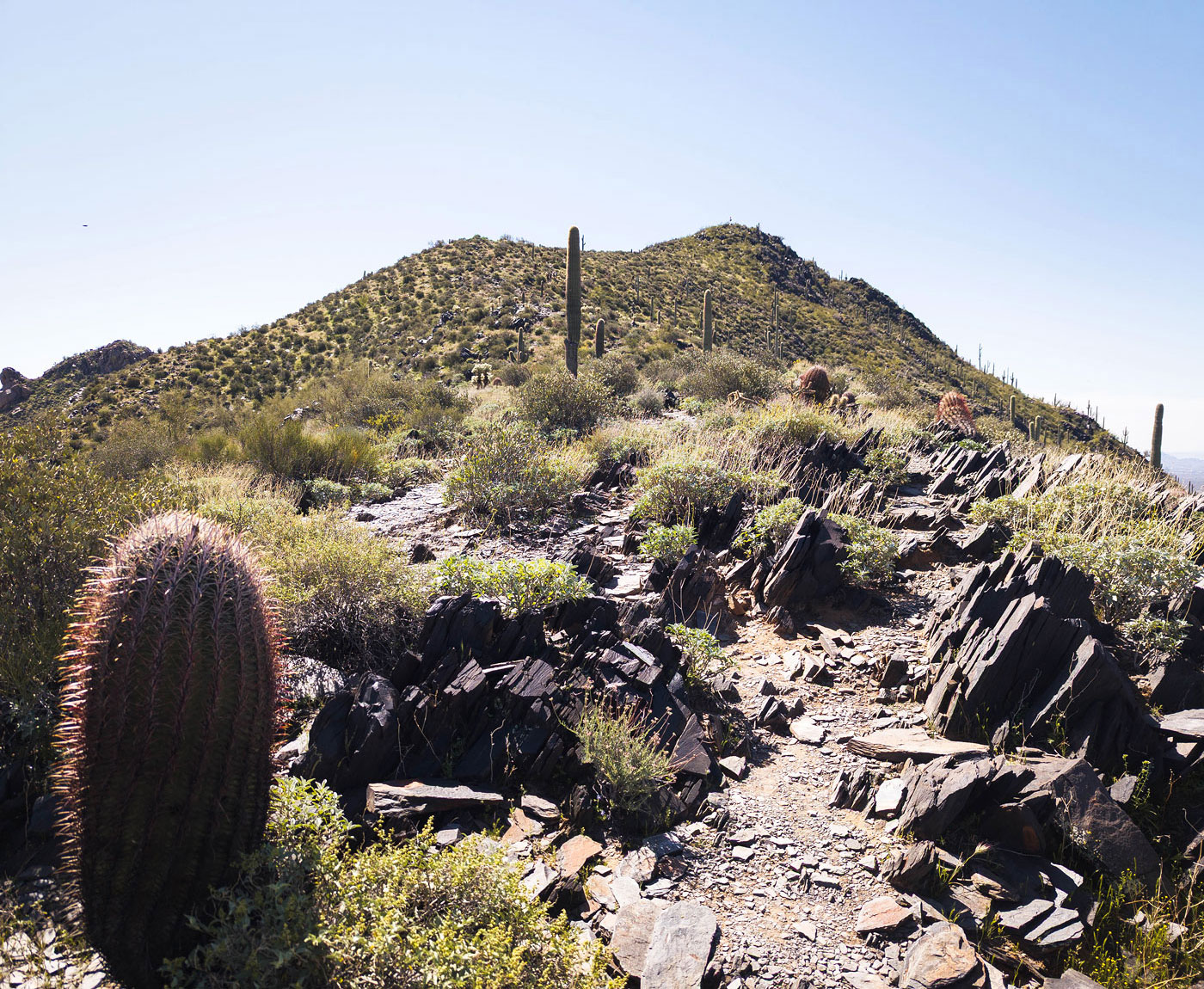
Mar 30, 2024 — Black Mountain is a super-popular exercise hill within Cave Creek, Arizona. I parked in one of the few designated Black Mountain parking spots and started up a paved road. It leads up a hill and through a neighborhood to a dead-end, the start of the trail marked by a brown sign reading "Black Mountain Trail". The hike was basically just a straight line south to the summit, the trail mostly dirt and wide enough for hiker traffic going in both directions. Aside from two rocky portions up steeper segments that slow everyone down, there were surprisingly minimal conga-line formations. Due to the large amount of foot traffic, there are short side-trails that veer off, but ultimately they led back to the main route. The trail flattens briefly along the ridgeline, with a view of the waving American flag on Black Mountain's summit. It's a short jaunt from here to gain the summit. There are no remarkable views of suburbia to be found here, so I turned right around and headed back down.
Please consider helping me out if you find my site useful. I'm not sponsored, so all site fees are out-of-pocket and my time preparing these trip reports is unpaid. You can also hire me as a web developer. I really appreciate it!


If you find my site helpful, please help me replace my many broken cameras, fund my website fees (hosting, APIs, security), or just support my countless hours of work. I pay for all expenses myself, and all trip reports I post are unpaid and unsponsored, so any support is really appreciated!
If using PayPal, please select their option for "Sending to a friend" so they don't take out fees, thank you.
My site is free to use, but consider sending me a few bucks to help keep it running. Thanks in advance!