

View back to the trailhead, also the Pebble Creek Ski Area. I followed a switchbacking ski patrol road most of the way up to the summit.
View back down the road.
Yay, skiing?
Nicer views higher up, still switchbacking on the snowmobile access road.
Bonneville Peak is up there somewhere.
Another shot back as I near the end of the road.
A small ski patrol hut. A social trail continues just to the right of it into the forest.
Ascending the steep slope for a few hundred feet.
A rock outcrop, easily avoidable.
View back down the steep slope as it eases up.
Approaching the ridgeline.
Bonneville Peak ahead to the south.
View back to Skyline Peak, just a little bump.
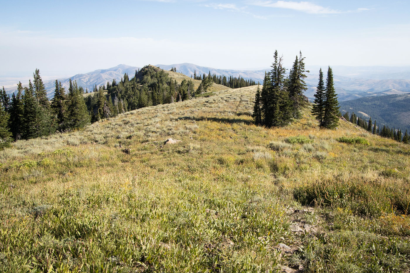
A social trail leads along the crest.
Another shot back.
Approaching Bonneville Peak.
Just below the summit, a view south.
Some little structure on the summit.
Bonneville Peak summit, view south toward Snow Peak and Haystack Mountain.
Hire me or show me some love!
Hire/refer me as a web developer or send me a few bucks if you find my site useful. I’m not sponsored, so all fees are out-of-pocket and my time preparing trip reports is unpaid. I really appreciate it!