

From the trailhead you can see the trail as it leads steeply up the slope. The trail drops into the drainage below before starting the ascent.
Up the trail.
It's steep and eroded at times.
And then finally it emerges from the trees and flattens out. Which means it's time to leave it and head left.
There's a minor cliff band, seen above. Class 2/2+ if you can't find a social trail to get over it, but social trails exist.
View down a social trail that gets over the cliff band.
And then there's no more trail. I headed through the forest to gain the south ridge of Bridger Peak. The forest hike isn't brushy or bad, but locating the way back might not be easy.
On the ridge, headed north to the sumit.
Views as the forest drops away.
View back.
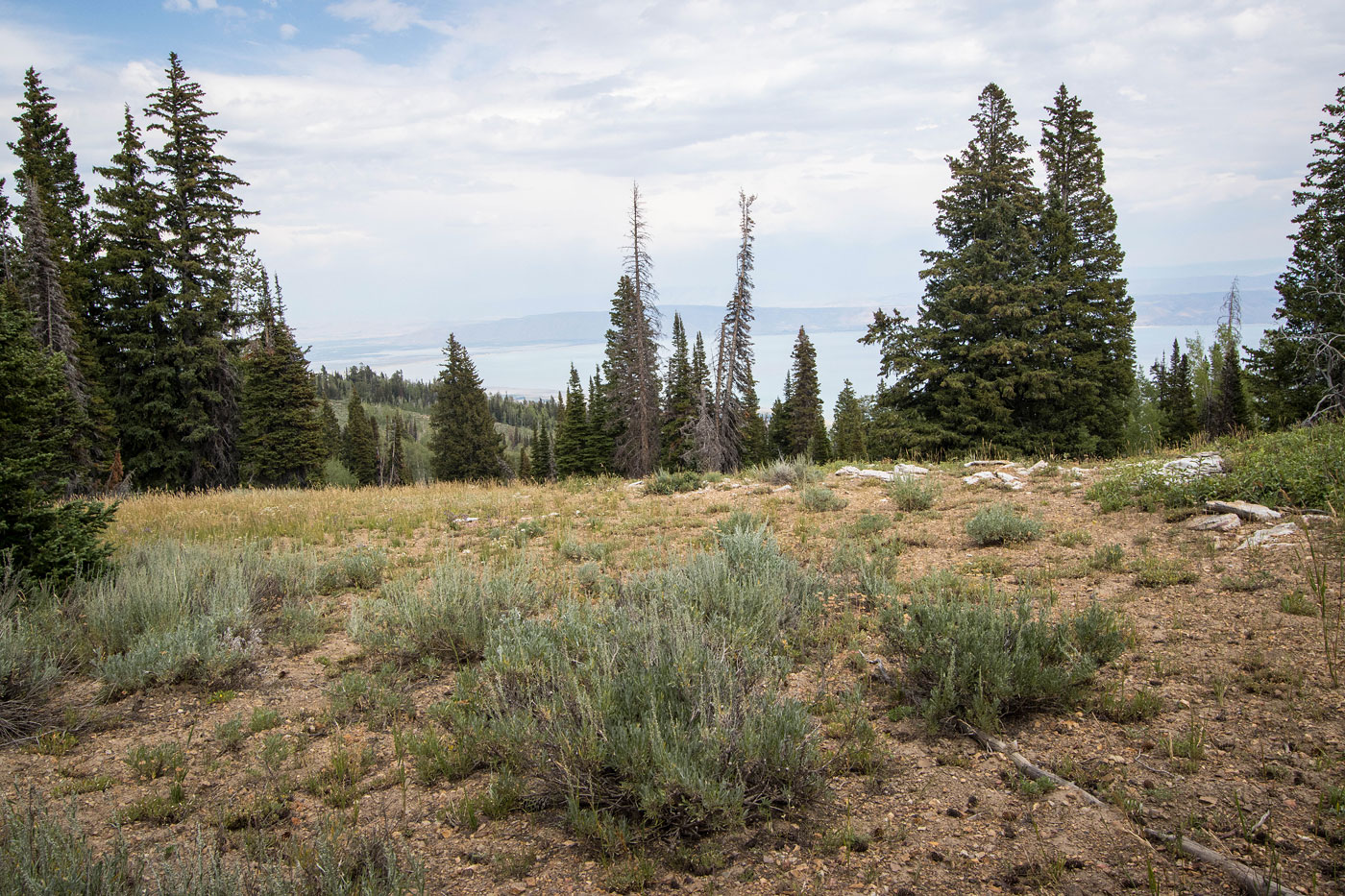
Summit of Bridger Peak, view toward Bear Lake to the east, below.
Hire me or show me some love!
Hire/refer me as a web developer or send me a few bucks if you find my site useful. I’m not sponsored, so all fees are out-of-pocket and my time preparing trip reports is unpaid. I really appreciate it!