I provide a free route map, but you can also download a hike/drive GPX to assist you and to help support my site. Before sharing my GPX tracks with others, please remember my site is a free resource and I'm charging nominal fees to offset my substantial costs.
GPX track added to your cart.
Oct 05, 2020 — Also known as "Cedar Mountain Highpoint", Cedar Benchmark is a pleasant grassy peak in Utah's West Desert. Google will fail to navigate to the trailhead coordinates listed using the most direct route, so instead set your coordinates to 40.7326081,-112.9617379 (Cedar Mountain Road) and follow it south to this turn-off: 40.55759, -113.00264. From these coordinates, follow the road that doesn't appear on Google Maps east (as of October 2020) to the coordinates I set for the "Directions to Trailhead" button above. 2WD can make it to the turn-off, and can also likely continue for another mile. Mid-clearance will get you to the wilderness boundary, where I left my car. There seems to be tire tracks past the wilderness sign, but the road gets bad and also it's wilderness, so just don't go farther than the "Directions to Trailhead" button brings you to.
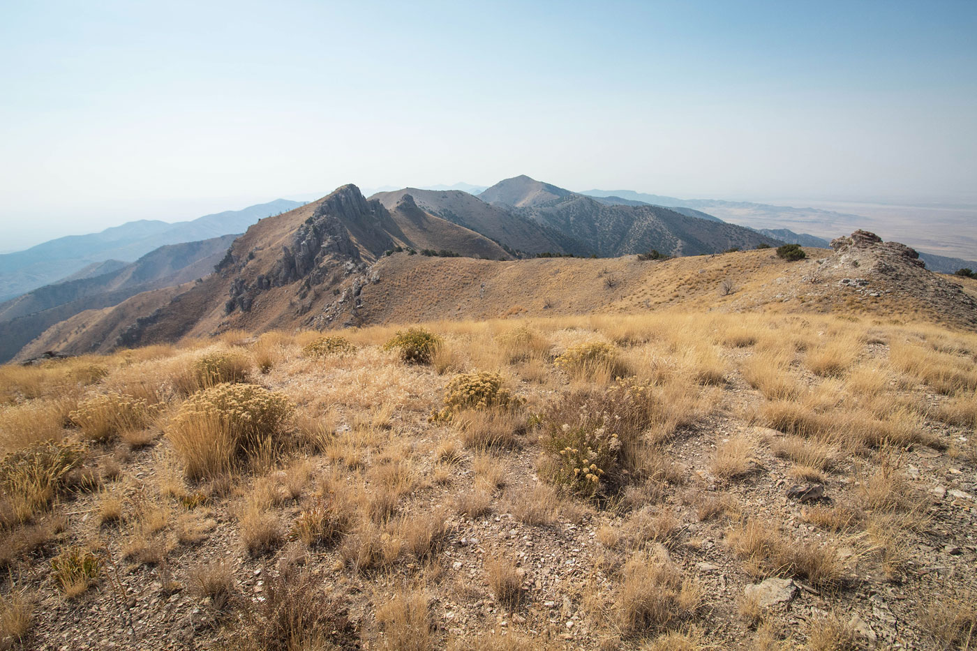
From the parking spot, I continued along the road and through a short, pretty canyon. It opened up into wide and grassy slopes, the summit of Cedar Benchmark unclear from here. I left the road when it turned north and ascended what I thought was the least steep-looking slope. It's hard to go too wrong when choosing a spot to ascend on the right since all options lead to a prominent ridge above. Once on this ridge, it's easy to follow all the way to the summit ridgeline. There were sections along the ridge that seemed well-traveled by animals, but really the slope swapped between mellow strolling through grasss and steep slope hiking. Route-finding was a no-brainer. Once I neared the top of this prominent ridge, a social trail led to the right, side-hilling on a slope up to a minor saddle on the summit ridge. I continued south to the summit of Cedar Benchmark.
Please consider helping me out if you find my site useful. I'm not sponsored, so all site fees are out-of-pocket and my time preparing these trip reports is unpaid. You can also hire me as a web developer. I really appreciate it!


If you find my site helpful, please help me replace my many broken cameras, fund my website fees (hosting, APIs, security), or just support my countless hours of work. I pay for all expenses myself, and all trip reports I post are unpaid and unsponsored, so any support is really appreciated!
If using PayPal, please select their option for "Sending to a friend" so they don't take out fees, thank you.
My site is free to use, but consider sending me a few bucks to help keep it running. Thanks in advance!