

After heading along a social trail to the head of Constrychnine Canyon, we entered its watercourse.
First big rappel of Constrychnine Canyon.
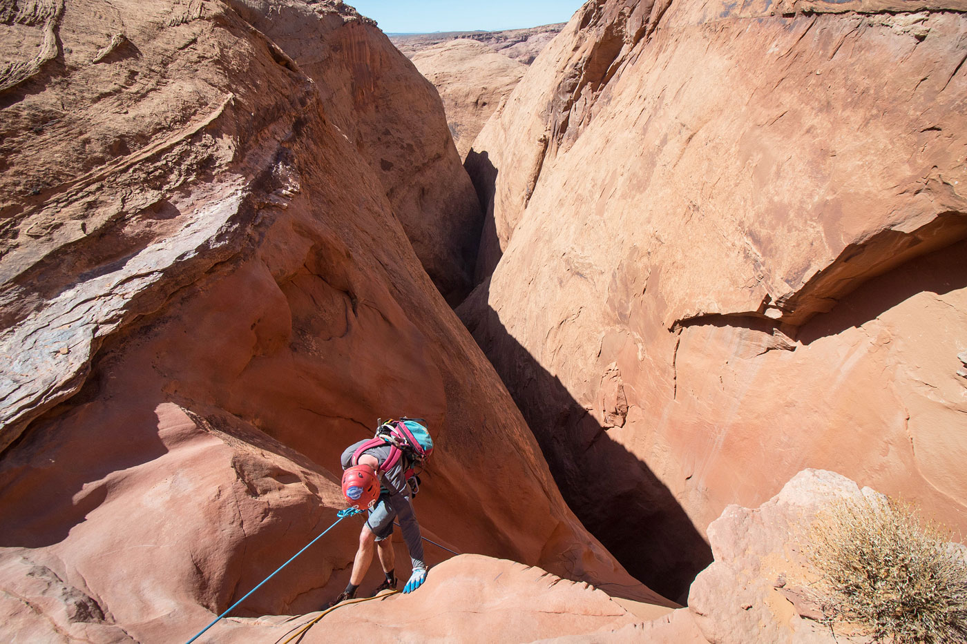
Bottom of rap 1.
Open walking for a bit through Constrychnine Canyon.
Second rappel.
Bottom of rap 2.
Pretty narrows.
A 3rd rappel within the narrows.
A fourth rappel off a chockstone.
Rap 4.
Bottom of rap 4.
More pretty narrows, a short section.
View back into the narrows.
Almost at the end of the narrows.
Final rappel, it's short.
Bottom of rap 5.
Continuing out of the watercourse.
View back into Constrychnine Canyon.
Junction with Slideanide Canyon.
A ramp we used for the escape on the left.
View back into the watercourse we came out of, left, as we ascend.
Class 3 obstacle.
View back down the slab exit.
Slab exit route.
Class 3 move to gain the rim. A social trail led back to the trailhead.
Hire me or show me some love!
Hire/refer me as a web developer or send me a few bucks if you find my site useful. I’m not sponsored, so all fees are out-of-pocket and my time preparing trip reports is unpaid. I really appreciate it!