

Just after leaving the Bear Creek Trail, we passed through this storm drain and picked up a trail on the opposite side, leading left.
The trail led to out of the drainage and continued through the desert.
The trail got us all the way to the saddle seen ahead.
View back as we head up toward the saddle, cairns help when the trail becomes harder to follow in spots.
Class 2 sometimes, but the trail was easy to follow.
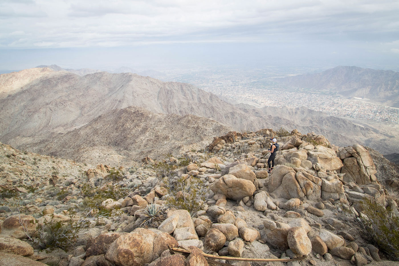
View back from the saddle.
Class 2 initially. We opted to stay just right of the crest to avoid excessive scrambling.
Class 2 initially. We opted to stay just right of the crest to avoid excessive scrambling.
View back, Indio Mountain seen top left.
Side-hilling below the ridge crest on mostly flat terrain. Coyote Benchmark seen ahead.
View back along the ridge. We came from the flatter side-hilling stuff above Whiley.
Class 2 up the slope, steeper than what we'd encountered so far.
On the ridge, Class 2/2+.
View back below the summit.
Approaching the summit of Coyote Benchmark.
View back. Indio Mountain seen in the sun top left. The trailhead is on the far right somewhere.
Coyote Benchmark summit, view southwest. Martinez Mountain top left somewhere in the clouds.
Close-up into Deep Canyon to the west.
Back at the saddle, onward to Indio Mountain. We chose to head directly up the ridgeline.
Steep Class 2.
View back toward Coyote Benchmark as we head up the initial slope from the saddle.
Close-up at the steeper stuff on the way up.
On the ridge crest, Class 2/2+ led onward.
Cool views along the ridge.
A little sub-peak along the way.
Indio Mountain ahead, tucked in the back center.
Dropping from a sub-peak to start the final ascent to Indio Mountain.
On our way up Indio Mountain, a view back toward the little sub-bump we came over.
Indio Mountain ahead.
We kept left around the summit cluster.
And ascended the Class 2 bouldery slope to gain the peak's north side.
Class 2 up to Indio Mountain, seen on the right. Coyote Benchmark seen left.
Indio Mountain summit, view south toward Coyote Benchmark.
Indio Mountain, view north into the city.
Hire me or show me some love!
Hire/refer me as a web developer or send me a few bucks if you find my site useful. I’m not sponsored, so all fees are out-of-pocket and my time preparing trip reports is unpaid. I really appreciate it!