

From the trailhead, I set out through the desert until funneled into this main trail. The ascent to Villager Peak follows the ridge in the center of this photo.
The trail leads through this wash to get to the start of the ridge.
View back, the trailhead is somewhere in the center of this photo.
Progress along the ridgeline. It's a mostly tame slope, but has some steeper sections.
View back along the ridge.
A flatter section along the way.
One of a couple of steeper sections, light Class 2.
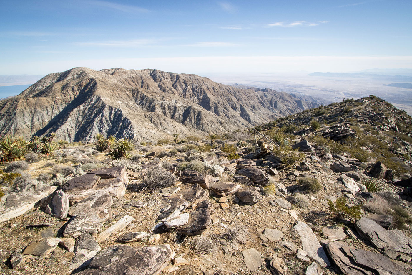
Villager Peak becomes visible.
Great views of the eroded west face of the ridgeline.
View back toward the ridgeline.
Continuing along the ridgeline.
Looking back where the trail parallels the cool rim.
Wider shot back into the desert below.
Villager Peak center.
Another shot back at my progress.
Approaching the slightly trickier Class 2 section.
Light Class 2, though leaving the trail could result in harder scrambling.
A shot back as I start up the Class 2 stuff.
Higher up, a view back. Mile High Mountain seen on the left. I'll be back later in the day for you!
A false summit before reaching Villager Peak.
Pretty tame slope and ascent from here.
View back below the false summit of Villager Peak.
Villager Peak just ahead.
Villager Peak summit, view west.
Villager Peak summit, view toward Rabbit Peak (right). Onward!
First drop down from Villager Peak. Rabbit Peak seen top right.
View back toward Villager Peak.
More progress along the many humps from Villager Peak to Rabbit Peak.
A shot back at another drop.
There's usually a very clear trail, though sometimes it's a little less obvious, like here.
View back toward Villager Peak. Mile High Mountain also seen center.
Rabbit Peak poking out on the right.
Some steeper sections along the rolling ridgeline.
Rabbit Peak ahead.
View back, Villager Peak on the right.
Last major dip before ascending to Rabbit Peak, seen right. The remaining ridgeline seen center.
Approaching the base of Rabbit Peak.
It's pretty steep up to the summit.
Rabbit Peak ahead.
There is a trail, but it's often difficult to follow for the last slope ascent to the summit.
Close-up at the ridgeline I just did, Villager Peak seen top left.
Looking back, just before reaching the summit. Mile High Mountain is seen on the left. It looks awfully far away.
Rabbit Peak summit ahead, the boulder.
Class 2 summit block.
Rabbit Peak summit, view north toward Toro Peak and Mount San Jacinto.
I backtracked to Villager and descended. Mile High Mountain is next, seen on the left.
My chosen descent spot.
View back toward the Villager Peak ridge. I came down the slope in the center since it seemed less steep than other options.
Heading up Mile High Mountain on a good social trail. There's a steep section, seen here.
View back down toward the saddle.
The rest of Mile High Mountain's ascent was pretty chill.
Mile High Mountain just ahead.
View back from Mile High Mountain toward Villager Peak, Rabbit Peak seen on the right.
Continuing along the ridge, a social trail making progress easier. Ahead is one of a few big lumps to hike up and over.
View back toward Mile High Mountain.
Along the ridgeline.
Another shot back.
Rosa Point seen on the right.
Close-up of Rosa Point, the Salton Sea in the distance.
Continuing along the ridgeline, yet another lump to go over. Rosa Point seen left.
Quick hike over to Rosa Point.
View back along the lumpy ridgeline, just before reaching Rosa Point.
View from Rosa Point.
Onward, Pyramid Peak seen center.
Pyramid Peak seen left. A social trail leads steeply down.
View back up toward Rosa Point (top right).
Descending the ridge.
Another shot back up at the steep social trail descent from Rosa Point.
The trail bypasses the hump ahead. Pyramid Peak seen poking out on the left.
Pyramid Peak ahead.
Approaching Pyramid Peak.
Final bit to the summit, still a nice social trail.
View back toward Rosa Point, much higher up.
Heading down from Pyramid Peak. I took a social trail leading to the minor ridge on the right.
Close-up of the minor ridge I followed, seen center.
Faint social trail along the minor ridge. It led down into a wash below.
I stuck to the wash for a short time, then exited via a crucial mining trail.
Along the mining trail, which leads out of the wash (seen left) and into the hills above.
View back along the mining trail, which is a little eroded, though still easy to follow.
At the top of the hills, the mining trail descends into the wash below, seen top right. From there I could just head through the desert back to the trailhead.
Within the wash, a shot at the hidden spot where I came down from the mining trail into the wash.
Hire me or show me some love!
Hire/refer me as a web developer or send me a few bucks if you find my site useful. I’m not sponsored, so all fees are out-of-pocket and my time preparing trip reports is unpaid. I really appreciate it!