

From the trailhead, I set out through the desert until funneled into this main trail. The ascent to Villager Peak follows the ridge in the center of this photo.
The trail leads through this wash to get to the start of the ridge.
Steep switchbacks initially.
View back, the trailhead is somewhere in the center of this photo.
Progress along the ridgeline. It's a mostly tame slope, but has some steeper sections.
The trail is sometimes faint, but still easy to follow overall.
A flatter section Mile High Mountain poking out ahead.
A flatter section Mile High Mountain poking out ahead.
View back.
A flatter section along the way.
Steeper, light Class 2.
View back above the short steep spurt.
Villager Peak becomes visible.
Close-up toward Villager Peak (left).
Another steeper section.
Great views of the eroded west face of the ridgeline.
View back toward the ridgeline.
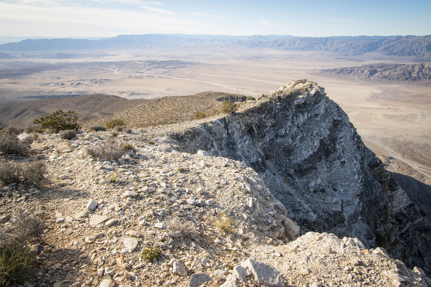
Very cool eroded slope.
Continuing along the ridgeline.
Looking back where the trail parallels the cool rim.
Wider shot back into the desert below.
Villager Peak center.
Another shot back at my progress.
Approaching the slightly trickier Class 2 section.
Light Class 2, though leaving the trail could result in harder scrambling.
A shot back as I start up the Class 2 stuff.
Higher up, a view back. Mile High Mountain seen on the left.
A false summit before reaching Villager Peak.
Pretty tame slope and ascent from here.
Another shot back as I near the false summit of Villager Peak.
Villager Peak just ahead.
Villager Peak summit, view south back the way I came.
Villager Peak summit, view west.
Villager Peak summit, view toward Rabbit Peak (right).
Hire me or show me some love!
Hire/refer me as a web developer or send me a few bucks if you find my site useful. I’m not sponsored, so all fees are out-of-pocket and my time preparing trip reports is unpaid. I really appreciate it!