I provide a free route map, but you can also download a hike/drive GPX to assist you and to help support my site. Before sharing my GPX tracks with others, please remember my site is a free resource and I'm charging nominal fees to offset my substantial costs.
GPX track added to your cart.
Nov 07, 2021 — Google will not be able to navigate to the trailhead. The roads are incorrectly drawn, so instead to reach where we started turn off AZ-95 at 33.54615, -114.21712, heading west. The road is good overall, but gets rocky so decent tires are a good idea. We parked at the base of the peak, about a quarter mile away from where the road is gated.
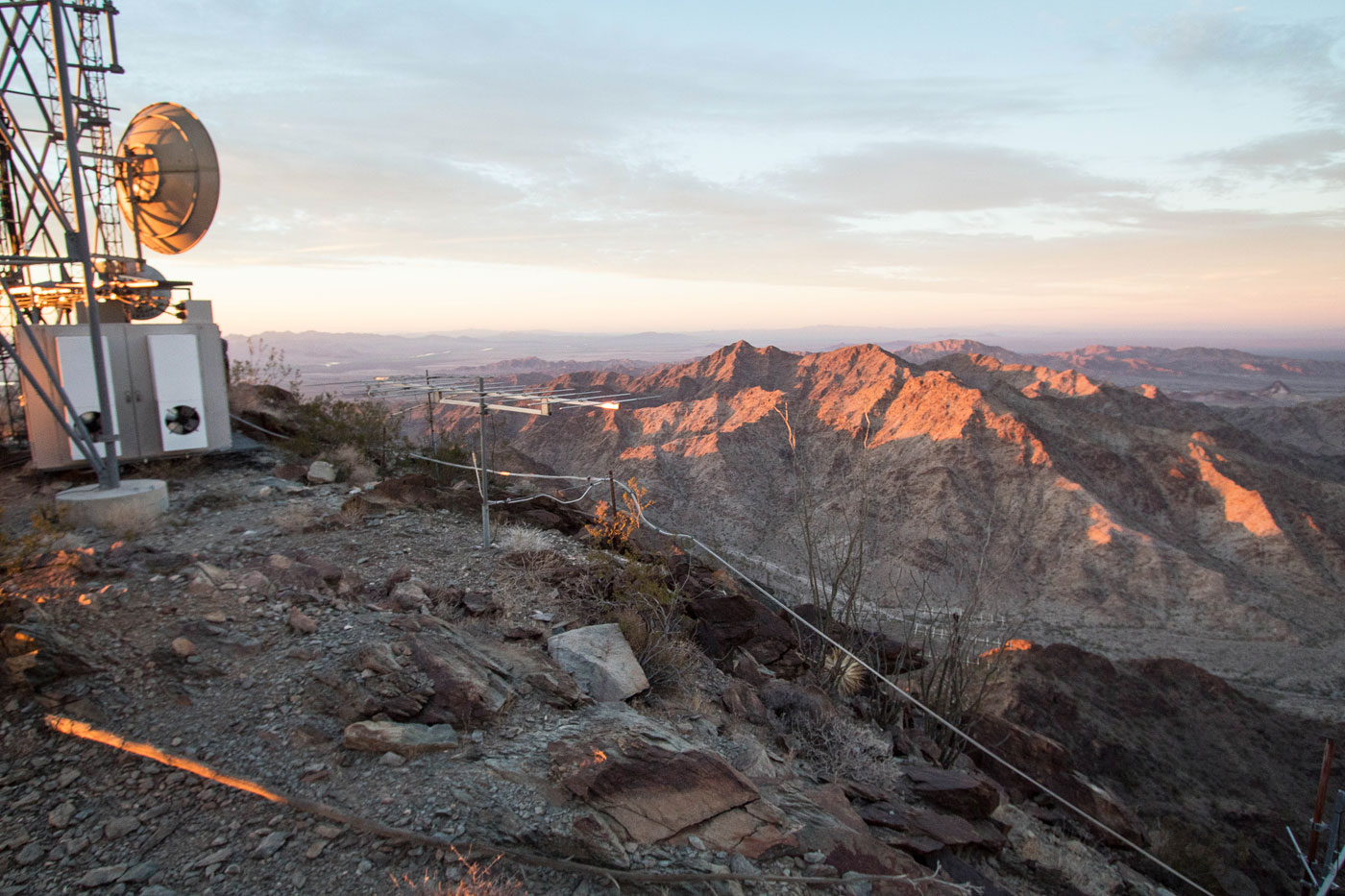
From where we parked, we headed south and started ascending, passing a locked gate. The road switchbacked tightly up Cunningham Mountain, heading to its east ridge. The going was pretty steep road walking with occasional sections of concrete at the extra steep portions. The views became really nice once we reached the ridgeline, and the road continued up to the summit. We found ourselves on Cunningham Mountain in time to catch the sunset.
Please consider helping me out if you find my site useful. I'm not sponsored, so all site fees are out-of-pocket and my time preparing these trip reports is unpaid. You can also hire me as a web developer. I really appreciate it!


If you find my site helpful, please help me replace my many broken cameras, fund my website fees (hosting, APIs, security), or just support my countless hours of work. I pay for all expenses myself, and all trip reports I post are unpaid and unsponsored, so any support is really appreciated!
If using PayPal, please select their option for "Sending to a friend" so they don't take out fees, thank you.
My site is free to use, but consider sending me a few bucks to help keep it running. Thanks in advance!