

Views from near where I parked, looking back as I started heading up the ridge.
Heading up the ridge toward Delano Peak.
Looking back while hiking up the ridge. Mt. Shelly Baldy visible on the left, Baldy on the far right.
Mountain goats on the bottom right.
Looking back along the ridge.
Continuing up the ridge to Delano Peak.
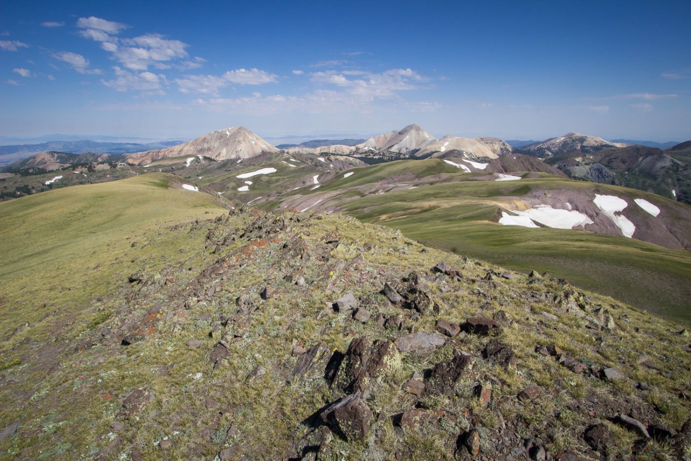
Views of Baldy and Shelly Baldy, Belknap peeking up on the far right.
Delano Peak ahead.
Shelly Baldy, Baldy, and Belknap.
Looking southish on the way up the ridge.
Mt. Belknap on the right, Mt. Baldy on the left. Two big peaks definitely on my to-do list.
Delano Peak.
Along the ridge to Mt. Holly.
Looking back up the steep section from Delano Peak to Mt Holly.
Looking back toward Delano Peak.
Looking back toward Delano Peak.
Approaching Mt. Holly.
Mt. Holly summit, looking back toward Delano Peak. You can see Baldy in the distance.
Looking up at Mt. Holly from its base before heading down the Mt. Holly Trail to complete the loop.
Looking back toward Delano Peak (way back left) and Mt. Holly (right).
Follow the road back to the start.
Hire me or show me some love!
Hire/refer me as a web developer or send me a few bucks if you find my site useful. I’m not sponsored, so all fees are out-of-pocket and my time preparing trip reports is unpaid. I really appreciate it!