

After leaving the trailhead, we backtracked along the road and headed down this road down to Lithodendron Wash, seen ahead.
The "official" trail, which follows the left bank of an unnamed wash.
Within the unnamed wash instead of following the trail. It was more open and less sandy.
Heading north into the wash.
We bisected the trail. See the brown trail marker on the right?
Ascending to the top of the mesa ahead.
Looking back as we near the top of the mesa along the eroded road.
Heading along the mesa.
Dropping down the north side of the mesa.
Heading northeast toward the Devil's Playground.
Looking back toward the mesa.
Human-sized entrance into the Devil's Playground.
Great stuff shortly after passing the fence.
Heading counter-clockwise around the Devil's Playground.
The area I labeled "cool grotto" on the attached map.
Wrapping around the northern side of our loop.
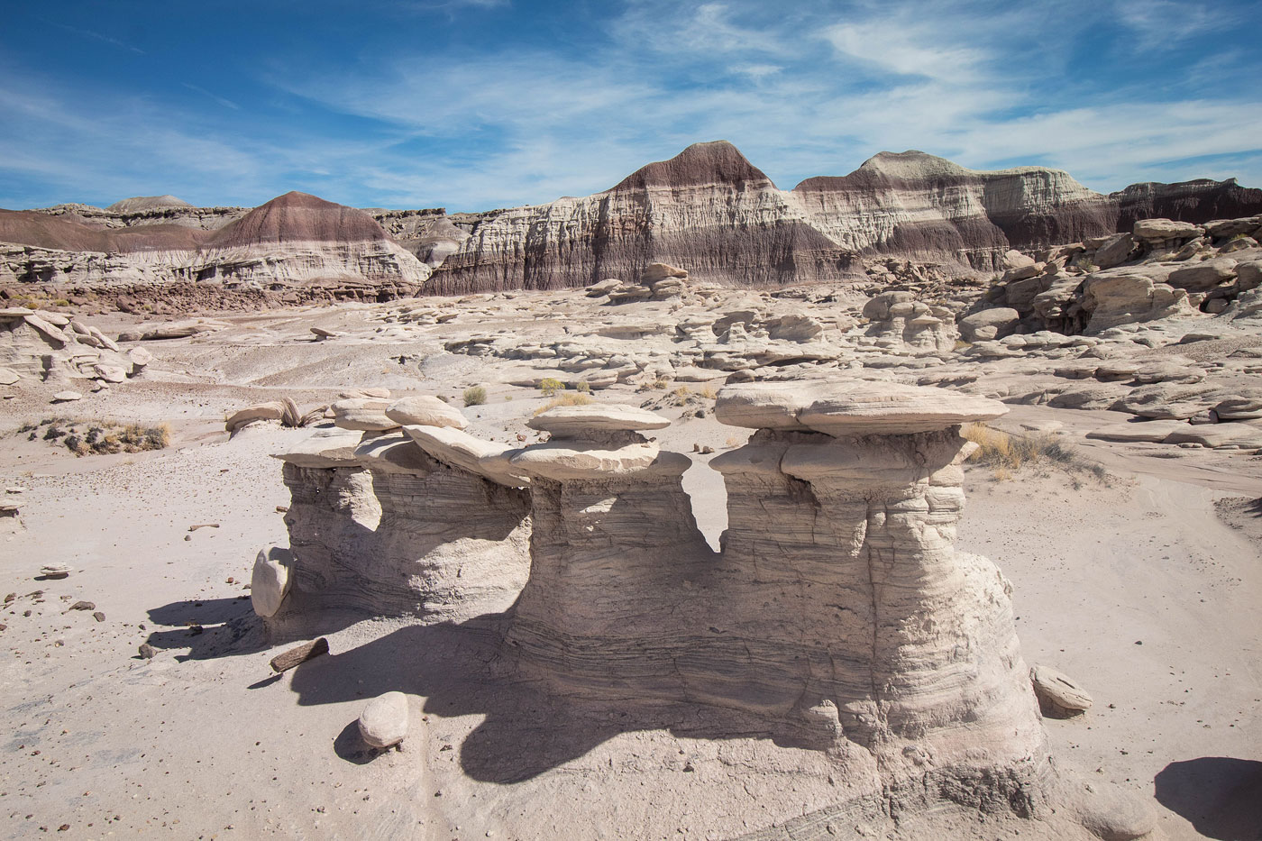
Three Witches ahead.
Three Witches.
A side canyon that ends in a dryfall.
Dryfall.
Looking back into the Devil's Playground as we complete our loop and head back the way we came.
Hire me or show me some love!
Hire/refer me as a web developer or send me a few bucks if you find my site useful. I’m not sponsored, so all fees are out-of-pocket and my time preparing trip reports is unpaid. I really appreciate it!