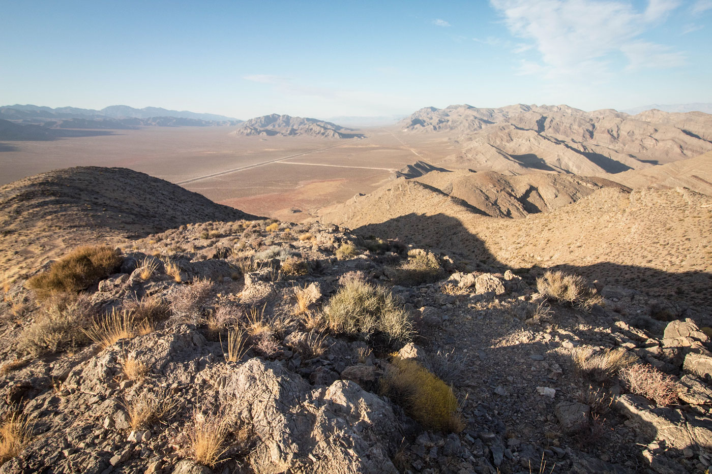
Oct 13, 2019 — Earlier this year, I did a small traverse in the Arrow Canyon Range, including its highpoint. Dry Benchmark is a smaller peak to the south, and while less fun, it made for a nice little outing as the weather starts to get cooler. I parked on the side of the road and crossed over a fence. I believe this fence is moreso for wildlife than to keep humans out, since I've parked along this road many times now without problems. I headed through the desert to the base of the westernmost finger on Dry Benchmark and ascended via a Class 2 slope. I couldn't tell you if my route is the "best" option, but it worked really well and overall was very pleasant. A few Class 2 and Class 3 moves over minor limestone cliff bands made the ascent more fun, and a small natural arch about halfway up was a pleasant surprise. There might be some minor route-finding around some cliff bands, but you can pretty much always see the ridge ahead.
Please consider helping me out if you find my site useful. I'm not sponsored, so all site fees are out-of-pocket and my time preparing these trip reports is unpaid. You can also hire me as a web developer. I really appreciate it!


If you find my site helpful, please help me replace my many broken cameras, fund my website fees (hosting, APIs, security), or just support my countless hours of work. I pay for all expenses myself, and all trip reports I post are unpaid and unsponsored, so any support is really appreciated!
If using PayPal, please select their option for "Sending to a friend" so they don't take out fees, thank you.
My site is free to use, but consider sending me a few bucks to help keep it running. Thanks in advance!