

Fortification Hill trailhead. The trail leads up to the minor spur ridge on the right.
Along the Fortification Hill Trail. It undulates a bit as it ascends the hills on the right.
View back, my car seen center.
Steeper section along the spur ridge.
Approaching the base of Fortification Hill, the trail leading up the right side of this photo.
Another shot back before reaching the cliff band base of Fortification Hill.
Cliff band base ahead. The trail keeps right once reaching it.
Traversing along the cliff band base.
Class 2+ scramble section.
View down the scramble.
Still heading to the right, traversing below the second bit of cliff band.
Class 2 gully to gain the top of the mesa.
The Fortification Hill Trail continues along the mesatop.
Fortification Hill summit ahead on the right.
View back along the mesatop as I near the summit.
Fortification Hill summit ahead.
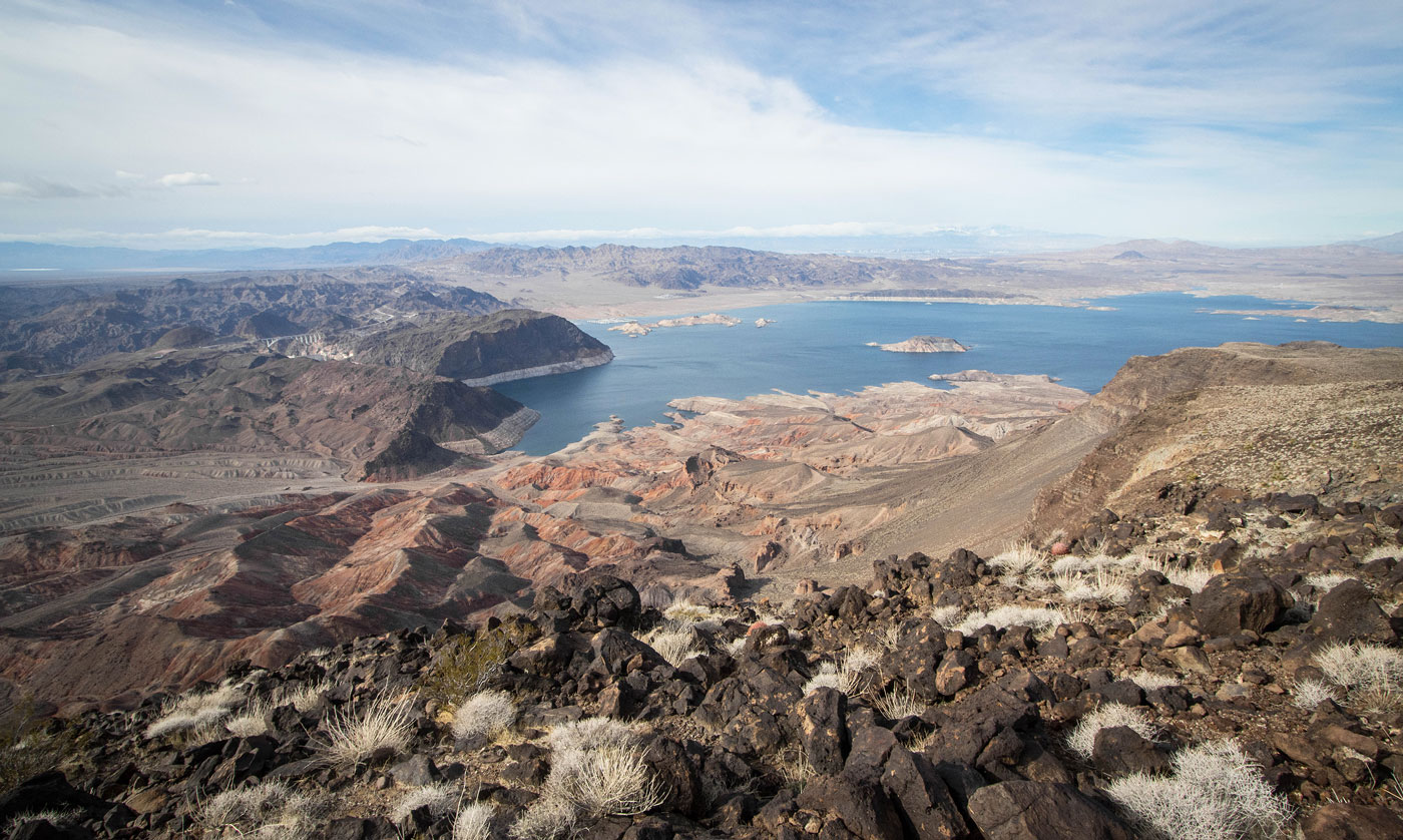
Lake Mead, seen from the Fortification Hill summit.
Close-up toward Lake Mead. Las Vegas seen top right.
Close-up toward Promontory Point and the Hoover Dam.
View north toward the Muddy Mountains (seen top right).
Hire me or show me some love!
Hire/refer me as a web developer or send me a few bucks if you find my site useful. I’m not sponsored, so all fees are out-of-pocket and my time preparing trip reports is unpaid. I really appreciate it!